Oregon Fires
Track active Oregon fires with our dedicated state resource. We provide current details on fire locations, containment efforts, and news updates. Stay informed with updates on new and current wildfires. Find real-time fire tracking and news updates.


Daily Wildfire Report
Daily Wildfire Report for Oregon - July 13, 2026
Overview
Oregon is currently facing a severe and elevated wildfire threat exacerbated by an extended period of hot, dry weather, critically low humidity, and steep, difficult terrain. The state is experiencing a "snow drought" with well below normal snowpack, pushing significant wildland fire potential to above normal. Governor Kotek has invoked the Emergency Conflagration Act for multiple fires to mobilize structural task forces and protect communities. The current National Preparedness Level for the Northwest Area is 3, indicating a significant commitment of regional resources.
Current Situation
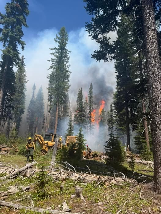
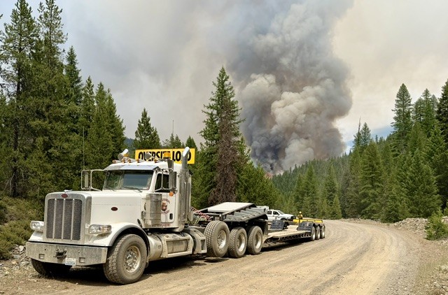
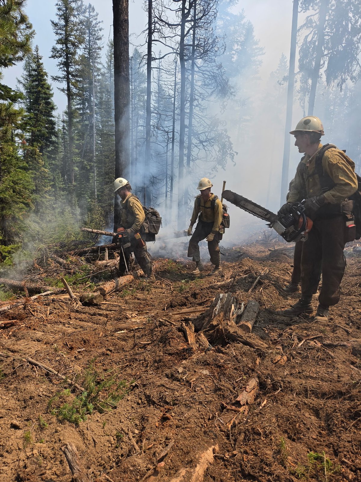
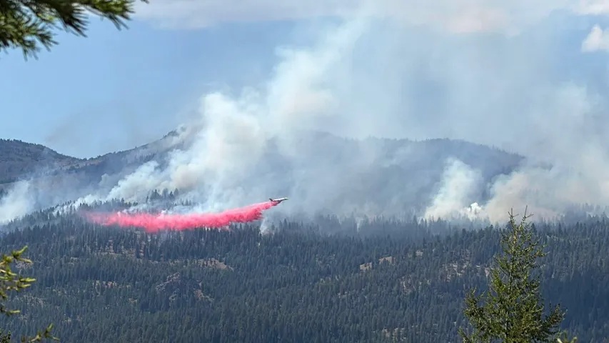
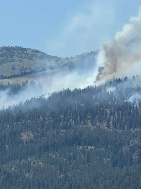
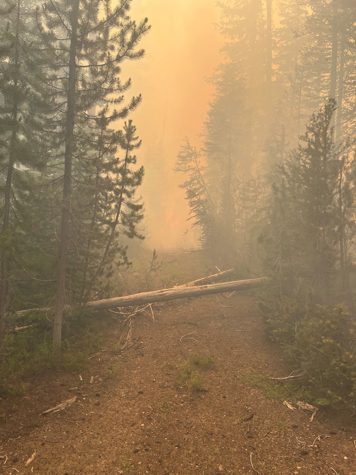
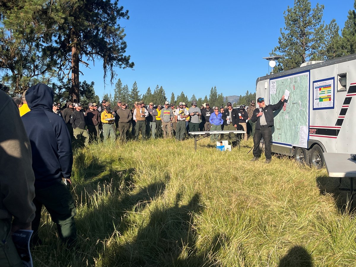
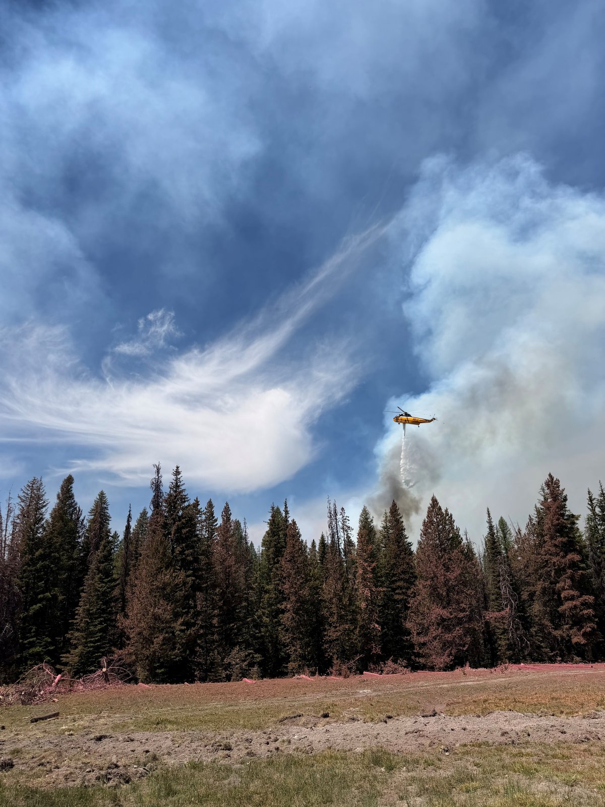
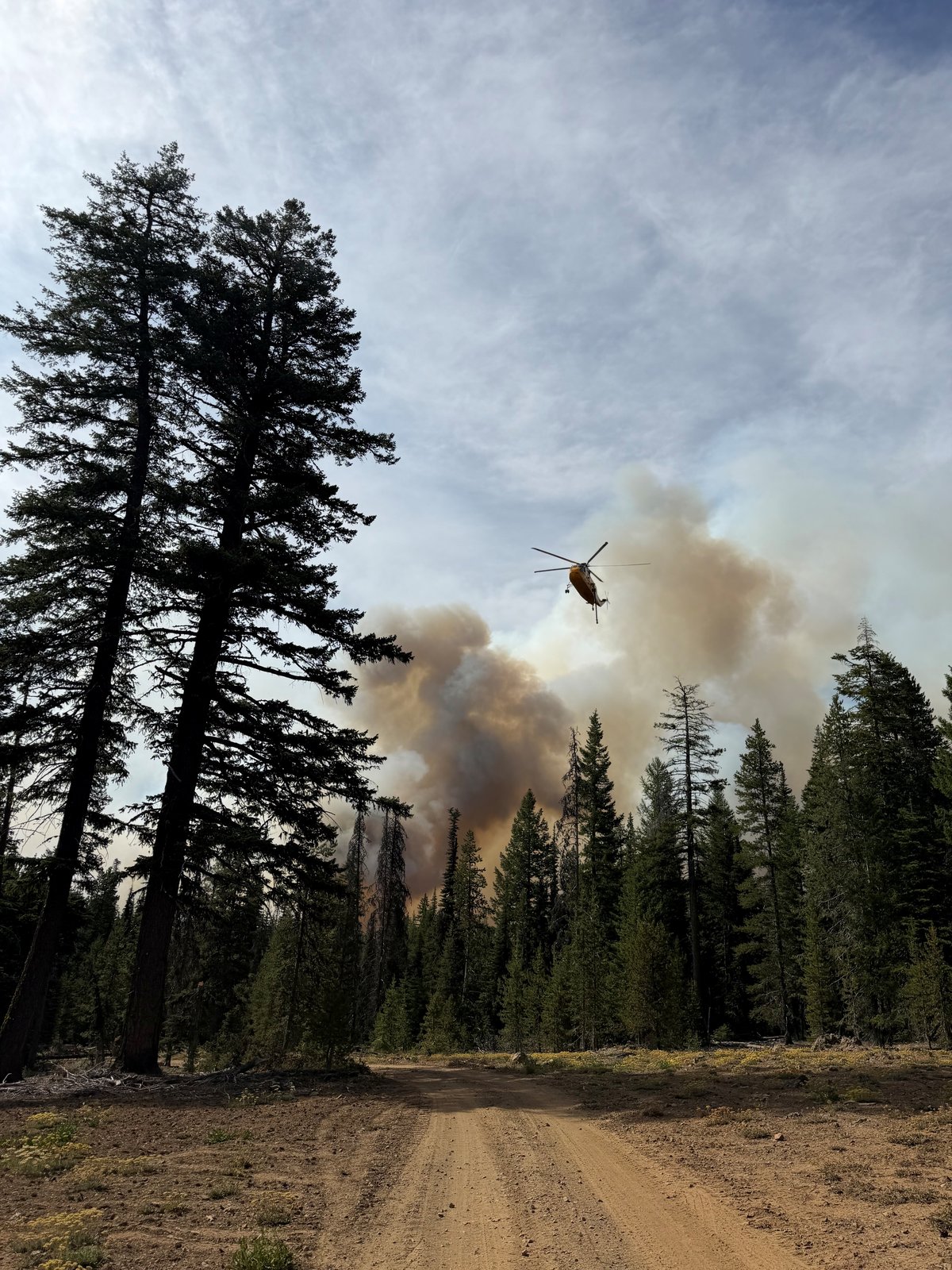
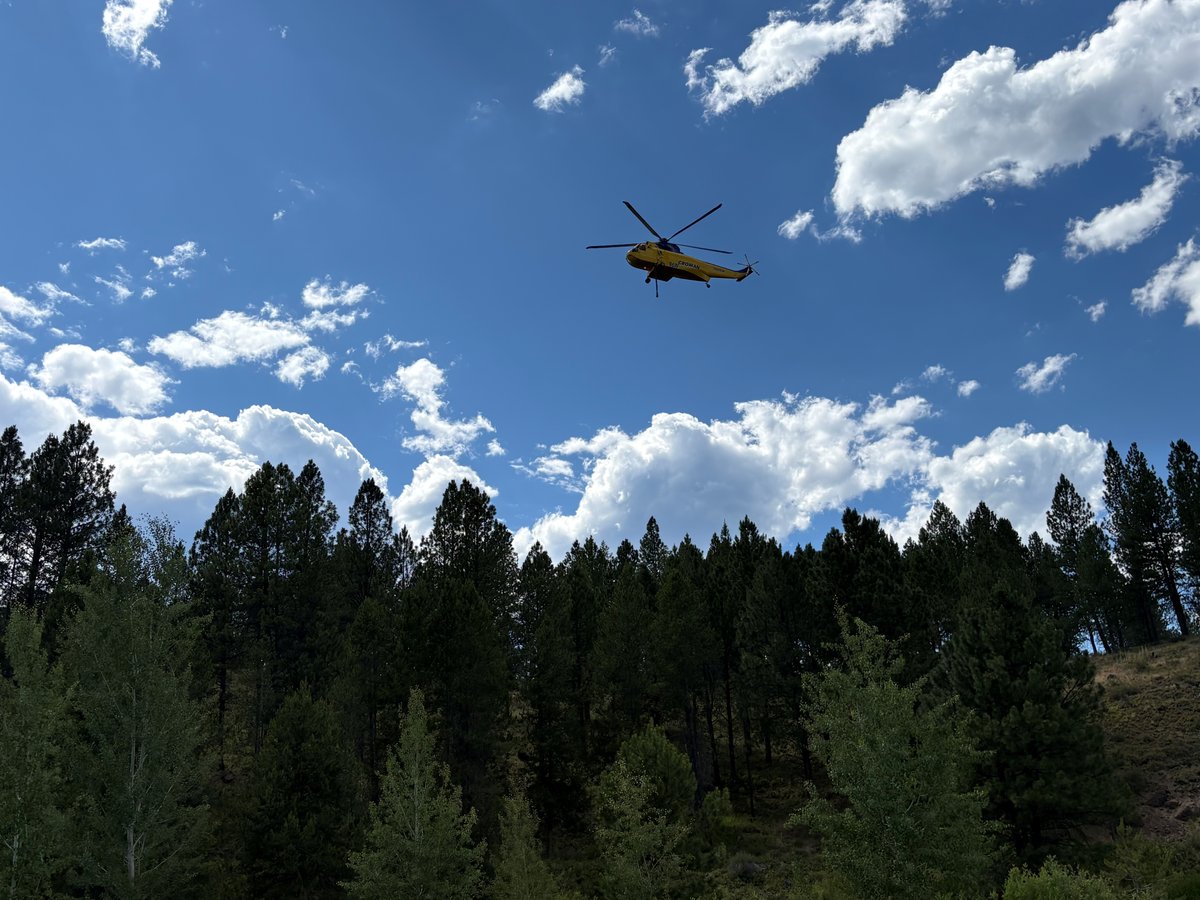
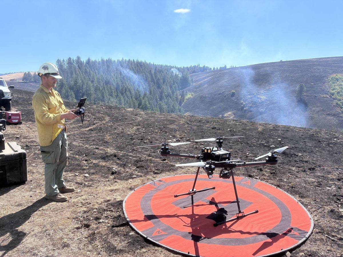
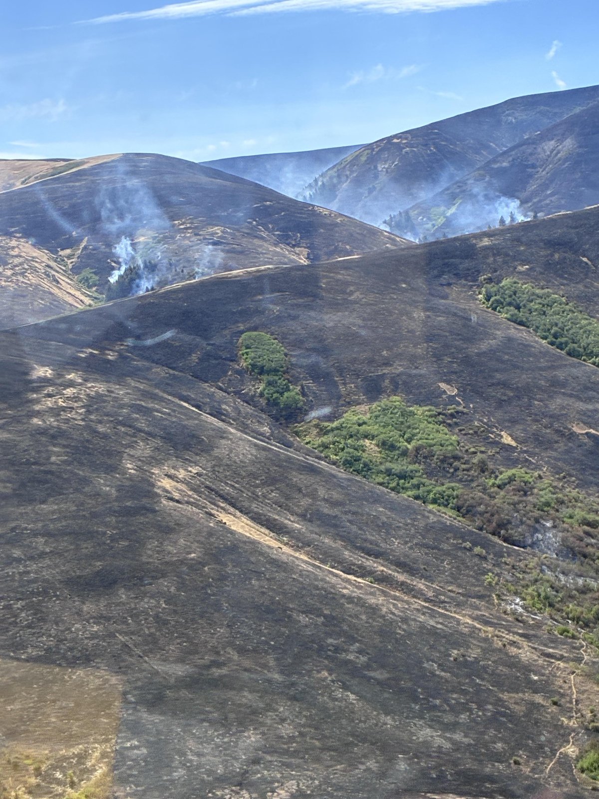
Fire Activity: Over the last 72 hours, wildland firefighters have responded to a significant uptick in fire activity across Oregon, particularly in the eastern and southern parts of the state. Multiple uncontained large fires are burning, requiring heavy regional support to manage incident objectives. Firefighters are working aggressively to contain these fires while also preparing for potential new starts from incoming weather systems.
Key Fires:
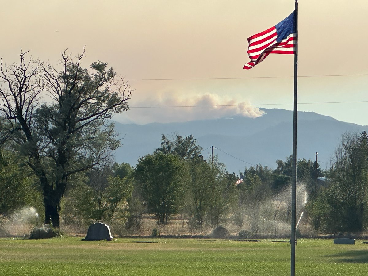
East Evans Creek Fire: Located northeast of Rogue River in Southern Oregon, this fire started on July 10, 2026, and has rapidly grown to 3,628 acres with 5% containment. Fueled by timber and brush, the fire is exhibiting extreme behavior, including short crown runs and group torching. Over 1,000 personnel are assigned to the fire, and evacuations and road closures remain in effect. Governor Kotek has invoked the Emergency Conflagration Act for this blaze.
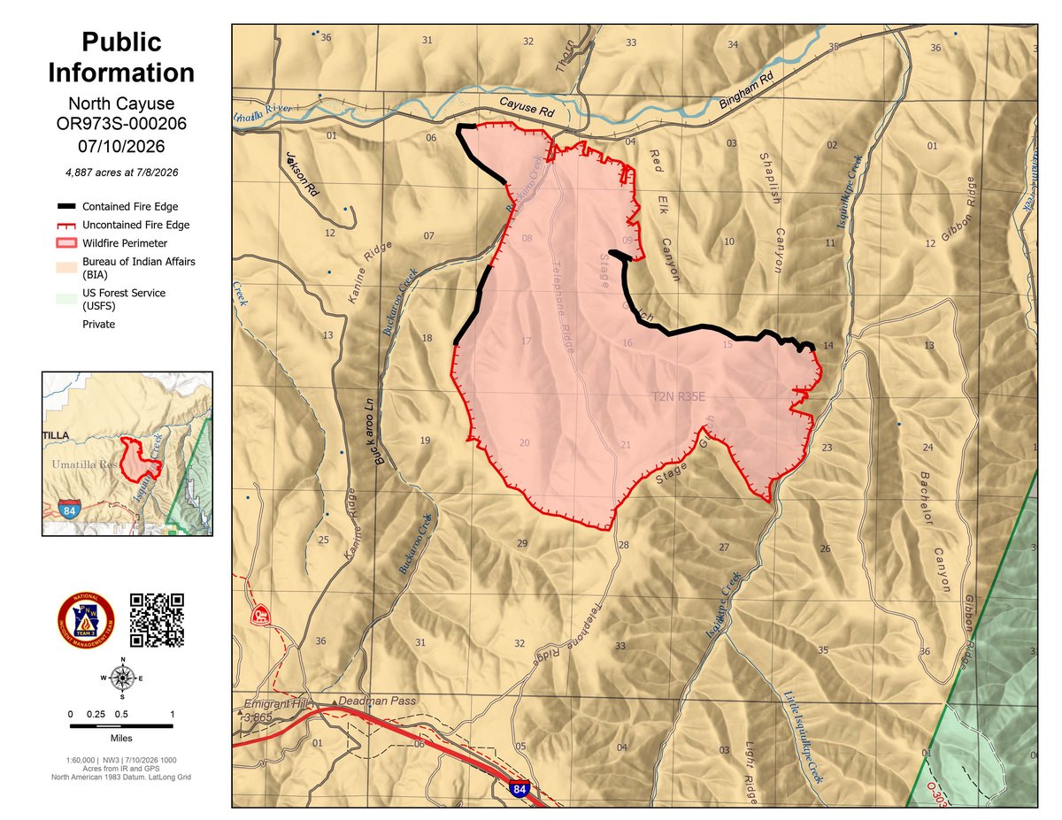
North Cayuse Fire: Located east of Pendleton, this is currently the largest active fire in the state at 4,887 acres. Firefighters have made excellent progress, reaching 91% containment. Fueled by timber, brush, and grass, it is currently showing minimal heat, and evacuation orders have been lifted as command transitions back to the local unit.
Olive Butte Fire: Burning south of Granite in Grant County, this fire is estimated at 1,720 acres. It is burning in heavy dead and downed trees, subalpine fir, and brush. The small city of Granite is under a Level 3 "GO NOW" evacuation order. The Emergency Conflagration Act has been invoked to dispatch structural task forces to protect the community and its infrastructure.
Anthony Fire: Burning near Baker City, this fire is estimated at 1,825 acres and is fueled primarily by timber. Fire crews have been forced to retreat to indirect control lines at times due to rapid spread and 100-foot flame lengths during recent wind events.
Salmon Fire: Located near the Olive Butte Fire in the Umatilla National Forest, this fire has reached 1,304 acres. It has moved into the North Fork John Day Wilderness area, burning in heavy dead and down fuels, timber, and brush. Fire behavior has been highly active, and the Emergency Conflagration Act is also active for this incident.
Prescribed Burns and Land Management: With the onset of peak fire season and extreme weather conditions, widespread burn bans and restrictions have been implemented across Oregon counties to prevent human-caused fires. The Oregon Department of Forestry is utilizing state funding to plan for long-term landscape restoration projects, including prescribed fire and fuel mitigation, which will resume when weather and vegetation conditions allow.
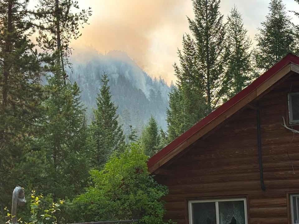
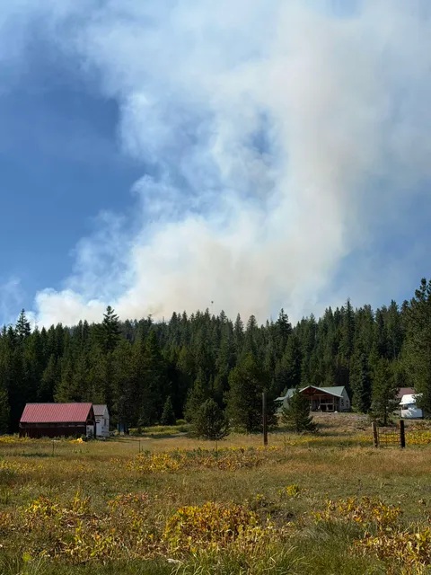
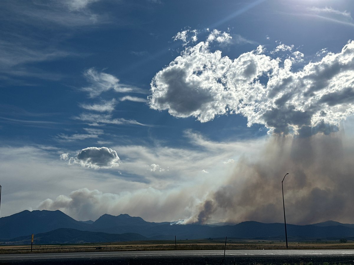
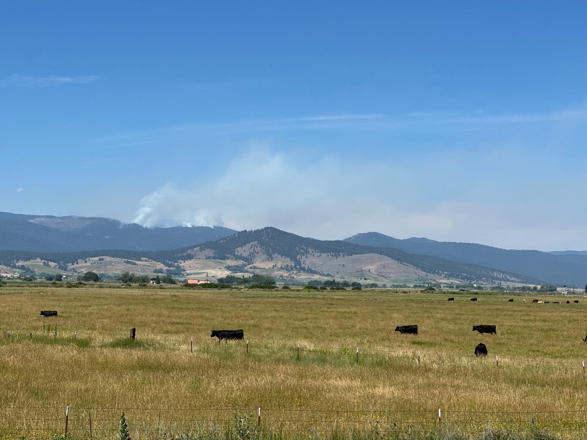
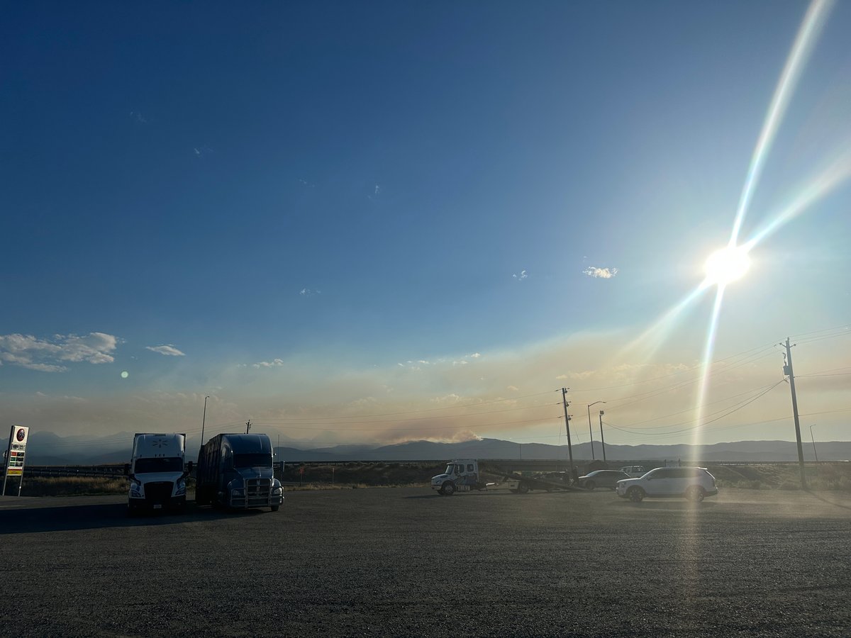
Air Quality: Smoke from the active fires in Eastern Oregon, particularly the Salmon, Olive Butte, and Anthony fires, is expected to impact local air quality and visibility in Baker and Grant counties. The East Evans Creek Fire is also producing a large column of smoke visible across the Rogue Valley.
Weather and Wind Warnings
Current Weather: Widespread clouds, slightly lower temperatures, and higher humidities provided brief relief over the weekend in eastern Oregon, but hot and dry conditions have returned to the inland Pacific Northwest.
Forecasted Weather: Fire weather is ramping up this week. Tuesday and Wednesday will get even hotter, and dry thunderstorms are expected east of the Cascades, posing severe lightning ignition risks. Instability in Southern Oregon increases the chance for thunderstorms, which could create erratic winds and spark new fires. A strong drying trend is expected to continue through the weekend, keeping fire danger exceptionally high.
Recommendations
Public Awareness: Residents are advised to be mindful of fire traffic and potential smoke impacts. It is crucial to have an emergency plan in place, adhere strictly to local burn bans, and obey all evacuation orders immediately, especially in threatened areas like Granite and Rogue River.
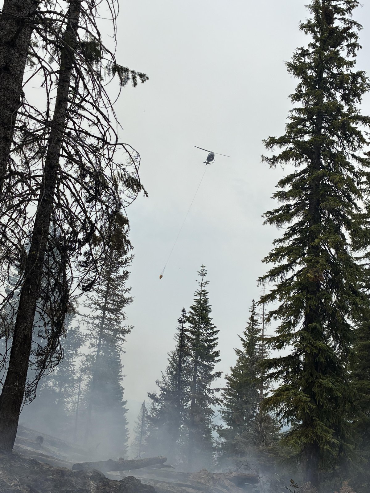
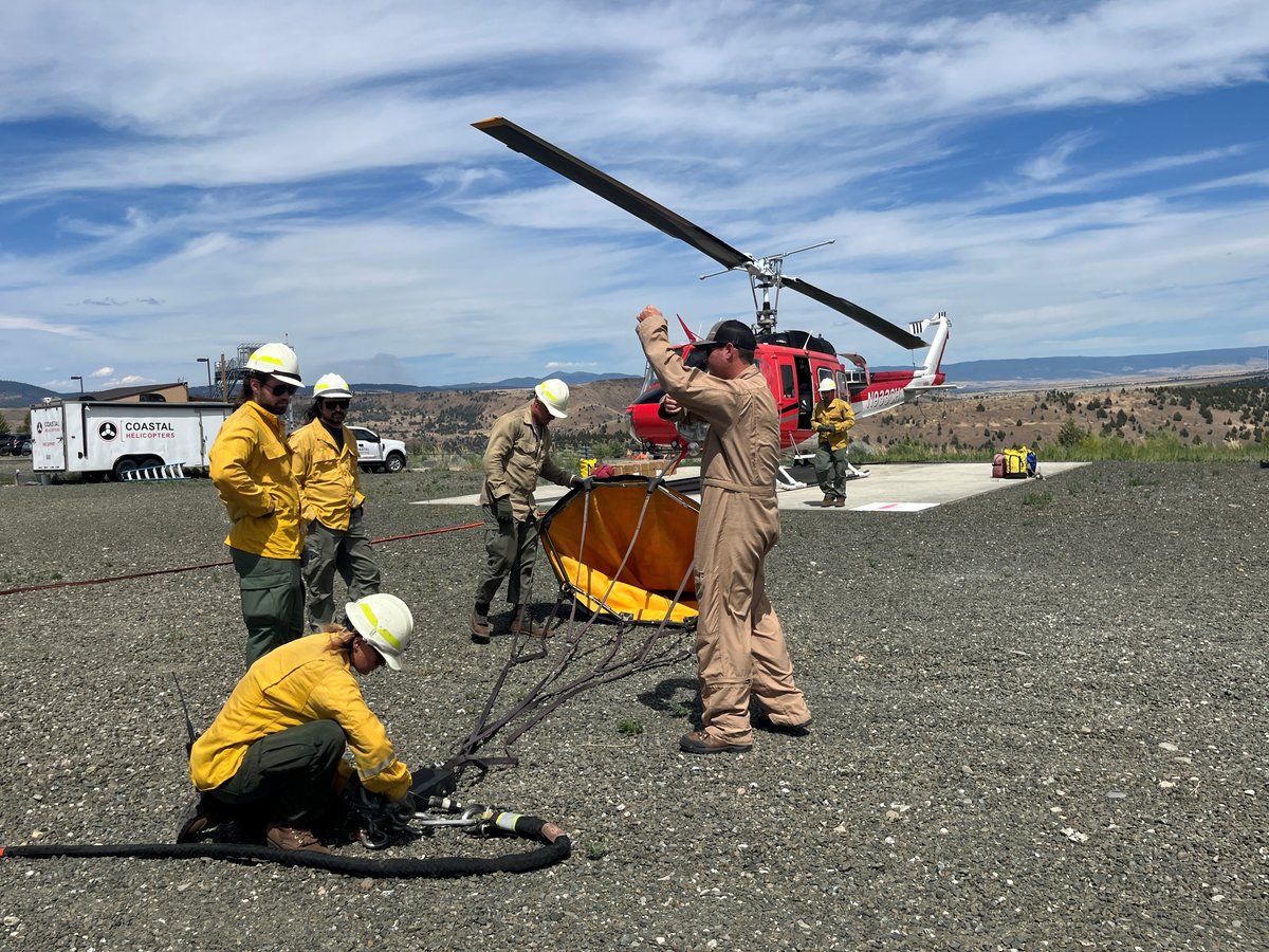
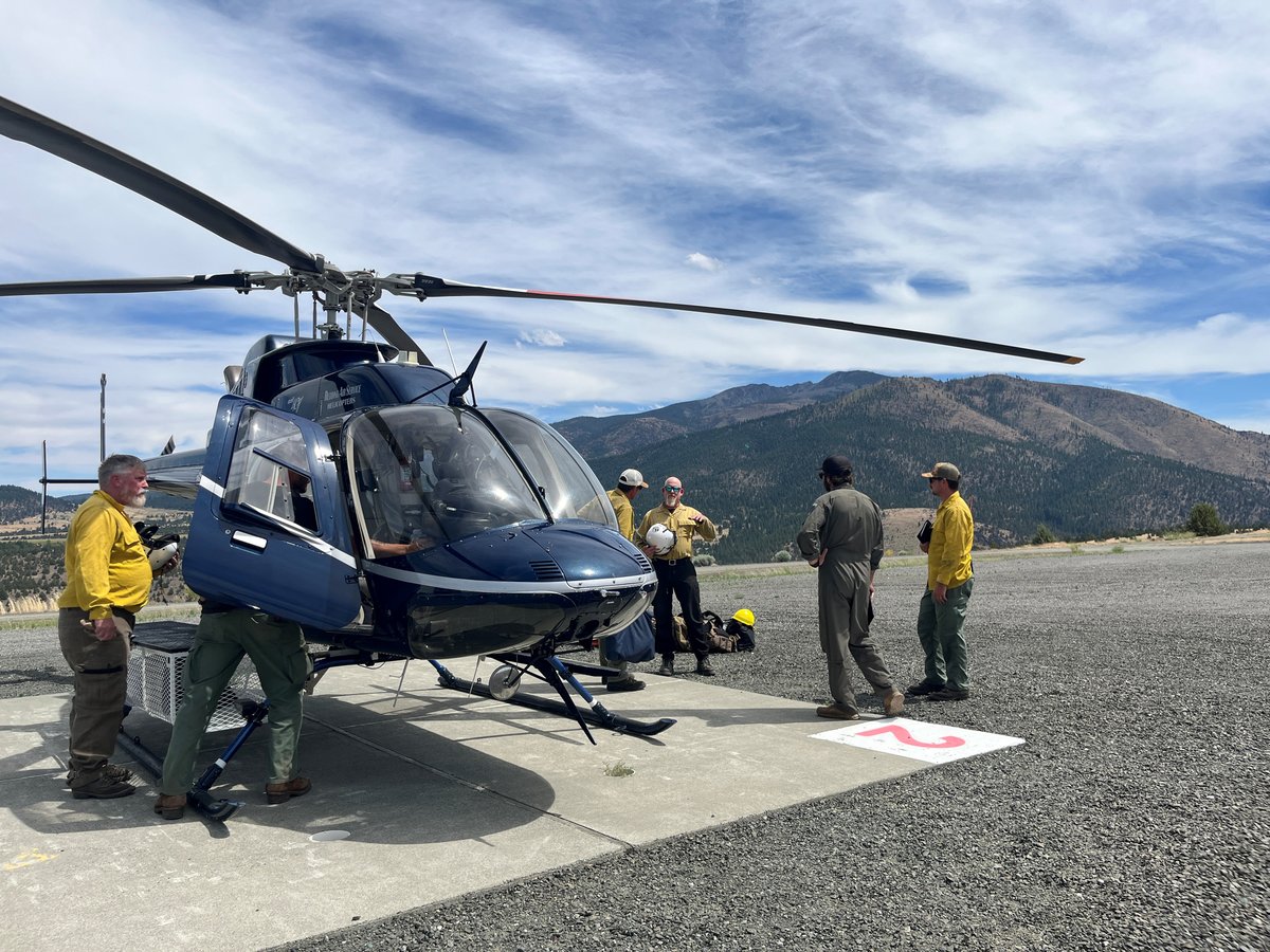
Resource Allocation: Agencies are fully staffed and coordinating with federal partners, utilizing helicopters, air tankers, and heavy equipment to construct firelines in difficult terrain. Additional resources are on standby should new fire starts be reported following expected dry lightning strikes.
Resources
For up-to-date emergency information, residents can visit:
National Interagency Fire Center (NIFC): www.nifc.gov/fire-information/nfn
Oregon Department of Forestry: www.oregon.gov/odf
InciWeb (Incident Information System): inciweb.wildfire.gov
Stay informed and prepared by monitoring these resources regularly.