Wildfire Explorer is made for the public
Mission: To deliver world-class wildfire intelligence and scalable land resilience solutions by combining real-time data, intuitive design, and advanced AI—empowering residents, landowners, and fire professionals to act with confidence.
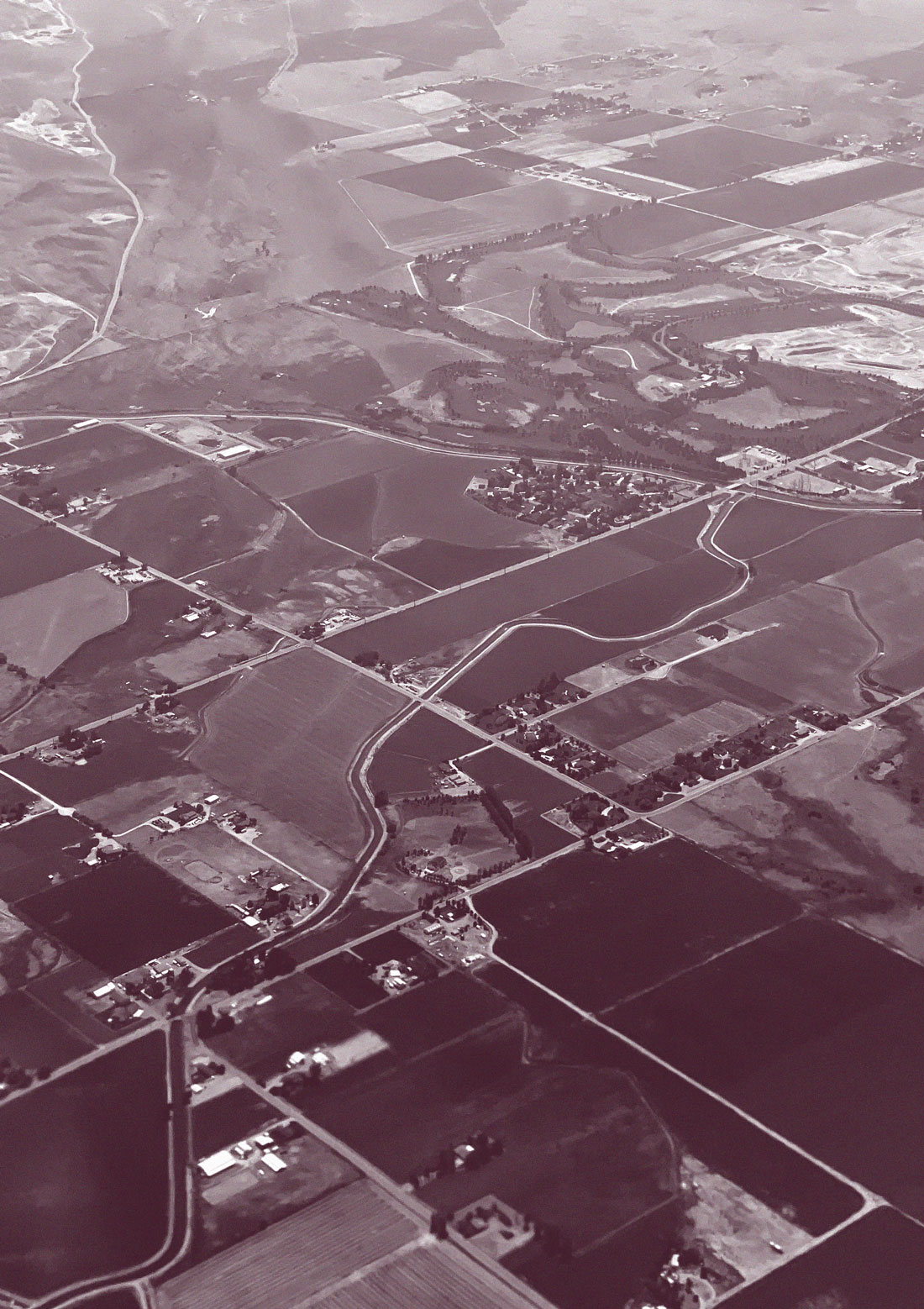
Cornea's Wildfire Explorer was created for use by the public. It includes the entire Continental United States — along with Alaska, Hawaii, Puerto Rico and Guam — because wildfires now affect all U.S. states and territories, with many of them now facing year-round threats.
The data used by Wildfire Explorer was sourced from publicly available databases (details below), and is updated hourly. Historical burn data is updated daily at midnight.
The data generated by wildfires can be used to model and predict future fire behavior.
This is what Cornea's predictive capabilities entail: using gathered wildfire data alongside related and important data streams like weather and terrain information, to generate predictive insights about where wildfires might go and how they might behave under different conditions.
ABOUT THE DATA
 What was included?
Wildfire Explorer currently sources data from two publicly available datasets, listed below. These are refreshed hourly and are also archived once a fire becomes "inactive."
Wildfire datasets:
-
NIFC Active Incidents
Active incident and historical incident data are pulled from NIFC, the National Interagency Fire Center. In the United States, NIFC is the official agency that offers logistical support center for wildland firefighting and other emergencies. This includes the management of active and historical data for wildland fires. NIFC is the primary source of data for Wildfire Explorer, which imports both the baseline information about the fires, and also the perimeters of the fires which are shown on the map. NIFC does not offer perimeters for every fire that is included in the database. Larger fires and more dangerous fires tend to get perimeters, whereas prescribed fires and smaller fires are rarely offered with accompanying perimeters. -
Calfire
Active wildfire data for California is partially sourced from Calfire, the state's self-managed wildfire agency. Calfire's independent incident database contains some — but not all — of the data points that are captured in NIFC datasets. Like NIFC, Calfire offers both fire information, and also fire perimeters, both of which are ingested by Wildfire Explorer.
Environmental datasets:
-
NASA FIRMS Satellites
NASA Fire Information for Resource Management System (FIRMS) provides near-real-time (NRL) infrared and hotspot data. These heat signatures have been carefully scanned and filtered in a way that makes them highly likely to represent fire and flames (rather than other sources of heat or energy). Wildfire Explorer ingests data from multiple satellite sets operated by FIRMS, which together provide comprehensive coverage of hotspots in the Contiguous United States, and Hawaii. -
NIFC Predictive Services
The NIFC Predictive Services group provides regular, daily updates on the many wildfire related metrics, maps, and data. Wildfire Explorer ingests multiple datasets from NIFCPS to visualize data like Fire Potential. -
AirNow
AirNow provides high-quality, reliable data for air quality. Air Quality Index (AQI) is a comprehensive air quality metric that includes wildfire smoke, and be used to assess air quality around fire events. AirNow sources data from high-quality national sources including the EPA, NOAA, and the National Parks Service. Wildfire Explorer ingests multiple feeds from AirNow in order to display discrete and mapped air quality for both individual fires, and also state pages. -
National Weather Service
The National Weather Service is the official weather service of the United States government, and provides high-quality, reliable weather data to the public. NWS is managed by the National Oceanic and Atmospheric Administration (NOAA). Wildfire Explorer ingests many different data sources from NWS, related to both weather and also specific wildfire warnings. -
Iowa Environmental Mesonet
The IEM is a meteorological data service and archive run by Iowa State University's Department of Agronomy. It collects, processes, stores, and distributes real-time and historical weather data from a wide variety of sources. Wildfire Explorer sources precipitation data from the IEM. -
Open-Meteo
Open-Meteo is an open-source weather API providing global forecasts, air quality, climate change, and historical weather.
 What was excluded?
In an effort to present the most relevant data, Wildfire Explorer excludes some fires from public views like national maps, state maps, and fire lists. Although the excluded fires aren't shown in "live" views, they still exist in the database, get a unique incident page, and get archived as "past fires."
Excluded fires:
-
Size: One acre or smaller
Eliminating extremely small fires helps clean up "noise" in the overall wildfire landscape. -
Last Updated: More than 7 days
Once a fire has not been updated in 7 days, our system considers it stale, and it is removed from active views. The stale fire keeps its unique incident page, but it is not added to "past fires" unless its containment reaches 100%. It may be added back to active views if it is updated again in source databases. -
Containment: 100% contained
Fires that are 100% contained are considered past incidents, and can be found in our Past Fires section. When available, the date contained is provided.
INTERPRETING THE DATA
Data Recency
-
Imports occur every hour.
Wildfire Explorer imports core fire data from NIFC and CALFIRE once per hour. -
Imported data may be outdated.
Imported data is not necessarily new ("fresh") at the time of import, and can possibly be outdated ("stale"), even though it was recently imported. Wildfire Explorer adds additional messaging throughout to clarify when data was most recently updated.
Maps & Geography
-
Fire Origin vs Fire Perimeter
A fire's point-of-origin is the place (single point) that the fire started. A fire's perimeter is the total acreage (area) that a fire has burned. The point-of-origin is always inside of the perimeter. -
Fire perimeters are not realtime
It is important to note that fire perimeters are not realtime and should not be referenced as "live" representations of where fires are actively burning:-
Fire perimeters have unique refresh cycles
Perimeters are updated with different (unique) intervals from the fire itself. If a fire perimeter is available for a given fire, its unique updated time will display immediately above the fire perimeter. -
Perimeters represent accumulated burn, not active burn
Fire perimeters represent everywhere a given fire has ever burned, not necessarily the area of "active burn" (live flames). Active burn location is not possible to ascertain from perimeter alone, and typically rely on additional data such as infrared, heat, and / or satellite data.
-
Official vs Unofficial Data
-
Official Data
Official data is sourced from governmental sources, and has usually been reviewed by a human or rigorously-audited system. Official data should be treated with the highest degree of trust.- Examples: NIFC, NASA, NWS, AirNOW — all governmental sources. NIFC core fire data is for-the-most-part human made / reviewed. Other sources (NASA, NWS, AirNOW) are automatically created.
-
Unofficial Data
Unofficial data does not come directly from governmental sources, but can still be helpful in understanding the broader picture relating to fire outbreaks, land management and other considerations. It should be treated with a secondary degree of trust when compared to official sources.- Examples: Google News and "From the Web" sections are both non-governmental and are also both compiled automatically, meaning they are not reviewed by a human. Sourcing is provided for both.
Wildfires vs prescribed fires
-
Wildfires are unplanned, unwanted fires
- Wildfires are unplanned, unwanted fires that can be destructive to human society and the natural environment.
- They are managed through a number of "containment" techniques that aim to reduce harm to economic, social and environmental targets.
-
Prescribed Fires are planned, controlled fires
- Prescribed fires are controlled fires that are intentionally started by fire and land management teams.
- Prescribed fires are used to control and reduce the possibility of unwanted or uncontrolled future fires. In the United States, prescribed fires are the primary tool used to prevent destructive wildfires.