Burgess East
 wildfire past fire
 Updated
Response

LEAD AGENCY
Forest ServiceRESPONSE LEVEL
Type 4

Details

INCIDENT DETAILS

FIRE BEHAVIOR
Minimal
DESCRIPTION
10 Miles SE from Talladega, ALOVERVIEW
Burgess East Fire started on 03/21 and is currently at 1,020 acres and 100% containment.Burgess East Fire Report — March 30, 2026
Burgess East Fire Report - March 30, 2026
Fire Start, Size and Growth
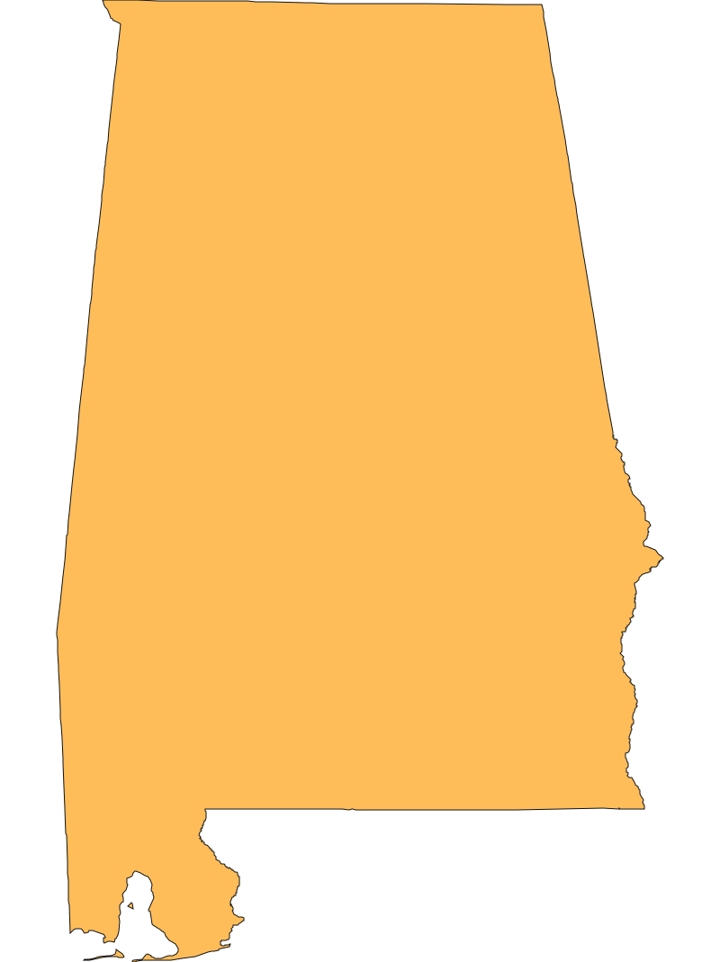
Start Date/Time/Location: The Burgess East Fire ignited on March 21, 2026. It is located in Clay County, Alabama, approximately 5.2 miles east-northeast of Chandler Springs, near Ashland. The fire is burning within the jurisdiction of the National Forests in Alabama.
Size and Containment: As of the latest reporting over the last 72 hours, the fire has burned approximately 1,020 acres and is currently 90% contained.
Fuels, Growth and Rate of Spread: The fire has been burning through timber and brush typical of the national forest landscape. Due to the high level of containment achieved by fire crews, forward progression has been halted, and the current rate of spread is minimal.
Containment Efforts: The response is being managed by the US Forest Service — National Forests in Alabama, with dispatch and coordination handled by the Alabama Interagency Coordination Center (ALAIC). Firefighters have successfully established strong containment lines around the vast majority of the fire's perimeter.
Emergency Information
Evacuations and Sheltering:
Mandatory Evacuation Orders: There are currently no mandatory evacuation orders in place for the Burgess East Fire.
Evacuation Warnings: There are no active evacuation warnings for the surrounding communities.
Curfew: No curfews have been issued in relation to this incident.
Evacuation Shelters and Information: Because there are no active evacuations, no emergency shelters have been opened. Residents in Clay County are advised to stay informed through local authorities.
Road and Infrastructure Closures:
- There are currently no major state or county road closures reported in relation to this fire.
- Localized forest service roads and trails in the immediate vicinity of the fire may be restricted to allow fire crews to work safely and conduct mop-up operations.
For more information, visit:
- Alabama Forestry Commission
- US Forest Service - National Forests in Alabama
- Alabama Interagency Coordination Center (ALAIC)
Current Impact
Impacts:
Injuries and Fatalities: There have been no reported injuries to civilians or firefighters, and no fatalities associated with the Burgess East Fire.
Structures Impacted: The fire has remained within the National Forest boundaries. There are no reports of structures being damaged, destroyed, or threatened at this time.
School and Business Closures: No schools or businesses in Clay County have been forced to close due to this incident.
Notable Impacts: The primary impact has been on the natural landscape and timber resources within the National Forests in Alabama.
Safety Concerns:
Power Outages: There are no reported power outages related to the fire.
Water Safety: No specific water safety concerns or infrastructure impacts have been reported.
Burn Bans: Residents should consult the Alabama Forestry Commission for any local burn restrictions, as regional conditions remain dry.
Air Quality: While the fire is largely contained, smoldering vegetation may produce lingering smoke that could affect air quality in the immediate vicinity of Chandler Springs and Ashland. Sensitive groups, particularly those with respiratory conditions, should take precautions if smoke is visible.
Ongoing Outlook
Containment Projections: With the fire currently at 90% containment, crews are focused on extensive mop-up operations. Firefighters will continue to patrol the perimeter, extinguish any remaining interior hot spots, and reinforce containment lines to achieve full 100% containment in the coming days.
Weather and Wind Warnings: Recent weather observations near the fire indicate favorable conditions for firefighting, with temperatures around 78°F, moderate humidity at 54%, and light north-northwest winds around 6 mph. There are currently no critical Red Flag Warnings for the immediate area, which is aiding firefighters in their final containment efforts.
Cause and the Role of Weather and Climate
Cause: The exact cause of the Burgess East Fire is currently unknown and remains under investigation by federal and state authorities.
Weather and Climate: The 2026 fire season in the Southeast has been heavily influenced by broader climate factors. Earlier this year, the National Interagency Fire Center (NIFC) projected an above-normal wildfire risk for the southeastern United States, driven by persistent La Niña atmospheric patterns. This climate pattern typically reduces precipitation and increases temperatures across the region, leading to lower soil moisture and drier vegetation, which creates an environment highly conducive to wildfire ignition and spread.
 View All