Canyon
ACRES BURNED
1,042
STATE
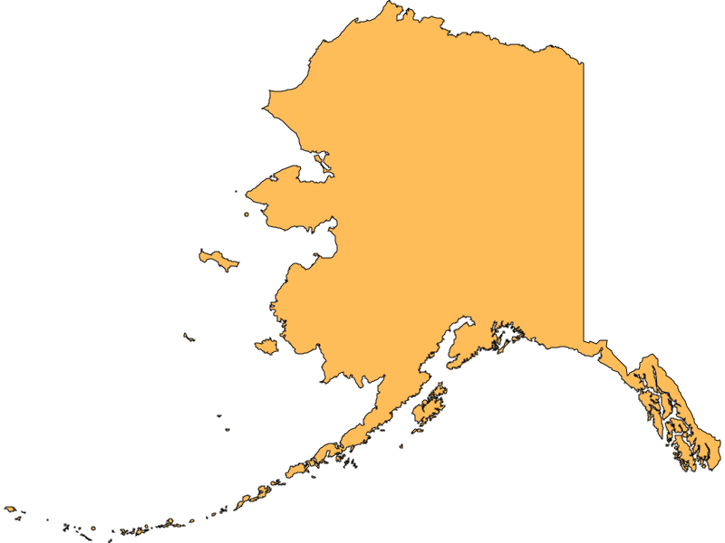
Alaska
ORIGIN COUNTY
Yukon-KoyukukCONTAINMENT
N/A
THIS FIRE IS STALE
This incident has not been updated in more than three days. Data may be inaccurate.
Environment
Right Now
| TODAY | JUL 27 | JUL 28 | JUL 29 | |
|---|---|---|---|---|
| Weather | | | | |
| Area Fire Potential | Low | Low | Low | Low |
| Area Fuels | Timber (Litter and Understory) | |||
Response
LEAD AGENCY
Bureau of Land ManagementRESPONSE LEVEL
Type 4Details
Canyon Fire Report — July 21, 2026
Please note: There have been no official updates published for the Canyon Fire over the last 72 hours. Because the fire is burning in a remote area and firefighters successfully completed their protection objectives weeks ago, the incident is no longer being actively staffed or updated daily. The summary below reflects the most current situation based on the latest available official incident reports.
Fire Start, Size and Growth
Start Date/Time/Location: The Canyon Fire (Incident #174) was ignited by lightning on June 12, 2026. It is located in Yukon-Koyukuk County, Alaska, approximately 20 miles west of Rampart, on the north side of the Yukon River.
Size and Containment: The fire is currently estimated at approximately 1,042 acres with 0% containment.
Fuels, Growth and Rate of Spread: The fire has been burning in decadent black and white spruce and mixed hardwoods. During its most active periods, it exhibited moderate fire behavior, including backing down hillsides, creeping, and occasional single-tree torching.
Containment Efforts: Because the fire is located in a Limited Management Option Area, it is generally allowed to play its natural ecological role and burn naturally. However, Native allotments receive full protection status in Alaska. The U.S. Wildland Fire Service (USWFS) Smokejumpers, the Chena Hotshots, and the Kilauea Type 2 Wildland Fire Module from Hawaii were deployed to implement point protection. Crews successfully established control lines, cleared brush, and set up hose lays to protect two Native allotments, a cabin, and a fish camp in the vicinity. Having completed these objectives, crews have largely demobilized.
Emergency Information
Evacuations and Sheltering:
Mandatory Evacuation Orders: There are currently no mandatory evacuation orders in place. The fire is burning in a highly remote area, and the nearest community, Rampart, is located approximately 20 miles east and safely south of the Yukon River.
Evacuation Warnings: There are no evacuation warnings at this time.
Evacuation Shelters and Information: No evacuation shelters have been opened as there are no displaced residents.
Road and Infrastructure Closures:
- There are no road closures associated with the Canyon Fire.
- There are no school or infrastructure closures.
- Smoke may be visible to boaters and aviators traveling along the heavily trafficked Yukon River corridor, but the corridor remains open.
For more information, visit:
- Alaska Wildland Fire Information
- Alaska Interagency Coordination Center (AICC)
- Alaska Division of Forestry & Fire Protection
Current Impact
Impacts:
Injuries and Fatalities: There have been no reported injuries or fatalities associated with the Canyon Fire.
Structures Impacted: No structures have been damaged or destroyed. Firefighters successfully completed point protection measures for the nearby Native allotments, cabins, and a fish camp, ensuring they are not immediately threatened by the fire.
School and Business Closures: There are no school or business closures due to the remote location of the fire.
Notable Impacts: The primary impact has been visible smoke along the Yukon River boating and aviation corridor.
Safety Concerns:
Power Outages: There are no reported power outages related to this incident.
Water Safety: No specific water safety concerns have been reported.
Burn Bans: Residents and recreators should check local Alaska Division of Forestry guidelines for any regional burn bans or fire restrictions, as fuels remain dry across much of the state.
Air Quality: While smoke production has diminished significantly following light rains in the area, any lingering smoke may pose minor air quality issues in the immediate vicinity of the Yukon River corridor.
Ongoing Outlook
Containment Projections: Because the Canyon Fire is burning in a Limited Management Option Area, full containment is not the objective. Firefighters have completed their point protection objectives for the nearby sites of value and have demobilized to respond to other initial attack wildfires across the state. The fire will continue to be monitored from the air and allowed to burn naturally until it is extinguished by seasonal weather changes.
Weather and Wind Warnings: Over the last 72 hours, there have been no specific Red Flag Warnings issued for the immediate fire area, though the broader Alaskan interior continues to experience warm summer temperatures and periodic lightning storms. Previous light precipitation in the area helped moderate fire behavior and minimize smoke production.
Cause and the Role of Weather and Climate
Cause: The Canyon Fire was caused by a lightning strike.
Weather and Climate: The fire was initially fueled by a typical Alaskan summer fire weather pattern, which brought hot temperatures, dry vegetation, and numerous thunderstorms with abundant lightning across the state. These dry fuels and persistent lightning strikes are characteristic of the extreme climate conditions that drive the Alaskan wildfire season, allowing holdover or "sleeper" fires to smolder below the surface for days and flare up when temperatures rise, vegetation dries, and winds increase.