Havasu
 wildfire past fire
Updated
Response

LEAD AGENCY
U.S. Fish and Wildlife ServiceRESPONSE LEVEL
Type 3

Details

INCIDENT DETAILS

FIRE BEHAVIOR
Minimal
DESCRIPTION
21 Miles NW from Lake Havasu City, AZOVERVIEW
Havasu Fire started on 01/19 and is currently at 3,868 acres and 100% containment.Havasu Fire Report — January 27, 2026
Havasu Fire Report - January 27, 2026
Fire Start, Size and Growth
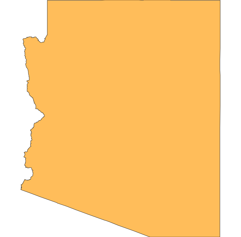
Start Date/Time/Location: The Havasu Fire was declared a wildfire around 4:00 p.m. on Monday, January 19, 2026. It is located in Mohave County, Arizona, approximately 15 miles south of Fort Mohave near Topock, within the Havasu National Wildlife Refuge Complex.
Size and Containment: As of the most recent reports on January 27, 2026, the fire has burned approximately 4,060 acres. Containment has increased significantly following favorable weather, with reports indicating it has reached 80% containment.
Fuels, Growth and Rate of Spread: The fire began as a prescribed burn that escaped containment due to unexpected and strong northerly winds, which gusted up to 36 mph. It has been burning primarily in river bottom vegetation, including brush, tall grass, and invasive Saltcedar (Tamarisk). Initially, the fire exhibited extreme behavior with rapid runs and spotting, spreading across both the Arizona and California sides of the Colorado River.
Containment Efforts: Response teams, including resources from the U.S. Fish and Wildlife Service and local agencies, have utilized dozer lines and firing operations to halt the spread, particularly along the Old South Dike Road to protect the Colorado River channel. A wetting weather system that moved through the area on Friday, January 23, significantly aided suppression efforts.
Emergency Information
Evacuations and Sheltering:
Mandatory Evacuation Orders: There are currently no active mandatory evacuation orders for the Havasu Fire.
Evacuation Warnings: No specific evacuation warnings are currently in effect, though residents in the Topock and Golden Shores areas were previously advised to stay alert.
Shelters: No evacuation shelters are currently open.
Road and Infrastructure Closures:
 View All