 wildfire past fire
 Updated
Response

LEAD AGENCY
Forest ServiceRESPONSE LEVEL
Type 4

Details

INCIDENT DETAILS

FIRE BEHAVIOR
Minimal
NEAREST CITY
Sedona
DESCRIPTION
7 Miles N from Sedona, AZOVERVIEW
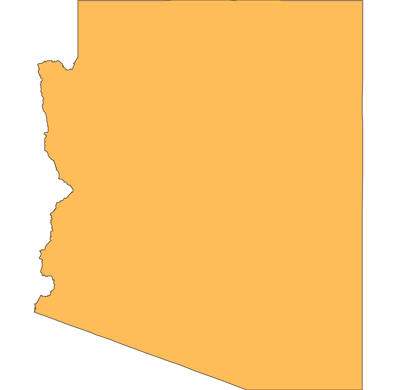
Pocket Fire started on 06/19 and is currently at 27,393 acres and 100% containment.Inciweb Media

Recent media provided by InciWeb of Arizona fire activity.
Pocket Fire Report — July 17, 2026
Pocket Fire Report - July 17, 2026
Fire Start, Size and Growth
Start Date/Time/Location: The Pocket Fire was first reported around 5:00 p.m. on June 19, 2026. It is located approximately 7 miles north of Sedona, Arizona, burning in the Oak Creek Canyon area and the Red Rock-Secret Mountain Wilderness Area, spanning Coconino and Yavapai Counties.
Size and Containment: As of the latest updates on July 16, 2026, the fire has burned 27,393 acres and is 83% contained.
Fuels, Growth and Rate of Spread: Fueled primarily by timber and brush, the fire's behavior is currently minimal, with only isolated smoldering observed throughout the burn area. The last remaining heat is located in steep, inaccessible terrain at the bottom of the West Fork of Oak Creek Canyon, east of Barney Spring Canyon.
Containment Efforts: There are currently 399 personnel assigned to the incident, a significant decrease from the over 1,000 personnel working the fire in previous weeks. The California Interagency Incident Management Team 6 is currently transitioning command of the fire back to the local USFS Type 3 Incident Management Team. Firefighters are now heavily focused on suppression repair, equipment cleanup, and final chipping operations, particularly in the southern portion of the fire near the Enchantment area.
Emergency Information
Evacuations and Sheltering:
Mandatory Evacuation Orders: There are currently no mandatory evacuation ("GO") orders in effect.
Evacuation Warnings: All areas previously under alert—including Oak Creek Canyon, Seven Canyons, Enchantment, Kachina Village, Forest Highlands, and Pine Del—have been downgraded and returned to "READY" status.
Evacuation Shelters and Information: Residents are encouraged to remain vigilant and stay informed on their status through the state's READY, SET, GO! system.
Road and Infrastructure Closures:
- State Route 89A is now open in both directions.
- Woody Mountain Road (Forest Road 231) remains closed to the south of its intersection with Forest Road 536.
- A portion of the Coconino National Forest remains closed to the public to ensure safety during ongoing suppression repair.
For more information, visit:
- Coconino County Pocket Fire Updates
- Arizona Department of Transportation (AZ511) for Road Closures
- Arizona READY, SET, GO! Evacuation System
Current Impact
Impacts:
Injuries and Fatalities: There have been no reported injuries or fatalities associated with the Pocket Fire.
Structures Impacted: No structures have been reported damaged or destroyed. Earlier in the incident, crews successfully built defensible space and installed sprinkler systems to protect communities close to the fire perimeter.
Notable Impacts: The fire has impacted portions of the scenic Red Rock-Secret Mountain Wilderness and Oak Creek Canyon, temporarily disrupting local recreation, tourism, and travel.
Safety Concerns:
Power Outages: No significant power outages have been reported in connection with this fire.
Burn Bans: Stage 2 Fire Restrictions remain in effect across the Coconino National Forest due to the broader regional fire danger.
Air Quality: Air quality in the region continues to improve as fire activity decreases and favorable winds help clear residual smoke.
Flight Restrictions: A Temporary Flight Restriction (TFR) remains in effect over the fire area. The public is strictly reminded that unauthorized drone use is prohibited, as it poses a serious risk to any remaining aerial monitoring operations.
Ongoing Outlook
Containment Projections: Containment is holding steady at 83%. The remaining heat in inaccessible canyons is well-contained by previous retardant drops and recent rainfall. Crews expect to finish chipping and suppression repair over the next several days, though afternoon thunderstorms may cause temporary operational delays as personnel retreat to higher ground for safety.
Weather and Wind Warnings: Temperatures are trending cooler over the fire footprint, with highs in the mid-80s at higher elevations and mid-90s in lower areas. Winds are expected out of the southwest at 7 mph with potential gusts up to 15 mph. There remains a good chance for afternoon showers and thunderstorms across the fire area, which brings a low risk of localized flash flooding.
Cause and the Role of Weather and Climate
Cause: The cause of the Pocket Fire remains undetermined and is currently under investigation.
Weather and Climate: Initially driven by dry vegetation, steep terrain, and wind, the fire's progression has been significantly halted by recent weather shifts. The fire area has received significant wetting rain over the past few days, which drastically reduced fire behavior. While an Extreme Heat Warning affects other parts of Arizona (such as La Paz and Yuma Counties), the local fire area is benefiting from cooler temperatures and increased monsoon moisture.
 View All