Fish
 wildfire past fire
Updated
Response

LEAD AGENCY
Multiple AgenciesRESPONSE LEVEL
Type 4
Details

INCIDENT DETAILS

FIRE BEHAVIOR
Minimal
DESCRIPTION
North of Caliente Bodfish Road & East of Bena Road, KeeneOVERVIEW
Fish Fire started on 07/27 and is currently at 4,201 acres and 100% containment.Fish Fire Report — July 31, 2026
Fish Fire Report - July 31, 2026
Fire Start, Size and Growth
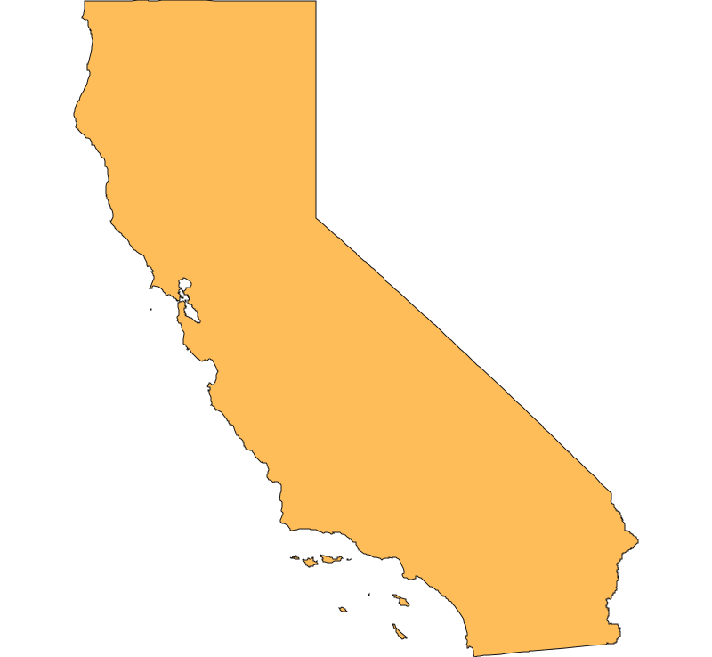
Start Date/Time/Location: The Fish Fire ignited on Monday, July 27, 2026, at approximately 12:44 p.m. The wildfire is located north of Caliente Bodfish Road and east of Bena Road, near the communities of Keene and Caliente in Kern County, California.
Size and Containment: As of the latest updates leading into July 31, 2026, the fire has burned 4,201 acres and is up to 87% contained.
Fuels, Growth and Rate of Spread: Initially starting as a 15-acre vegetation fire, the blaze was fueled by tall grass standing roughly 2.5 feet high. The fire exhibited active flanking and wind-driven runs, growing rapidly across the steep terrain before firefighters could halt its forward progress.
Containment Efforts: The Kern County Fire Department is the agency having jurisdiction, with CAL FIRE assisting. Over 200 personnel were deployed to combat the flames. Firefighter access was initially hampered by steep, mountainous roads and difficult terrain, but crews have made steady progress overnight and throughout the week to reinforce control lines and mop up hot spots.
Emergency Information
Evacuations and Sheltering:
Mandatory Evacuation Orders: There are currently no mandatory evacuation orders in place.
Evacuation Warnings: Evacuation warnings were initially issued for zones KRN-100 and KRN-455, advising residents to prepare to leave. However, these warnings were officially lifted on July 28 as containment increased.
Evacuation Shelters and Information: No physical evacuation shelters are currently active since warnings have been lifted. Residents can identify their specific evacuation zones and monitor real-time changes using the Genasys Protect map.
Estimated Number of People Impacted: The estimated number of people impacted was relatively small due to the rural nature of the area
 View All