Dudley
 active fire
  wildfire
 Updated
Environment
Right Now


| TODAY | SEP 5 | SEP 6 | SEP 7 | |
|---|---|---|---|---|
| Weather | 48° 45° |  67° 43° 67° 43° |  68° 45° 68° 45° | 63° 46° |
| Area Fire Potential | TODAY Lowest SEP 5 Lowest SEP 6 Lowest SEP 7 Lowest | |||
| Area Fuels | Timber (Litter and Understory) | |||


Response

LEAD AGENCY
Forest ServiceRESPONSE LEVEL
Type 3

Details

INCIDENT DETAILS

FIRE BEHAVIOR
Minimal
DESCRIPTION
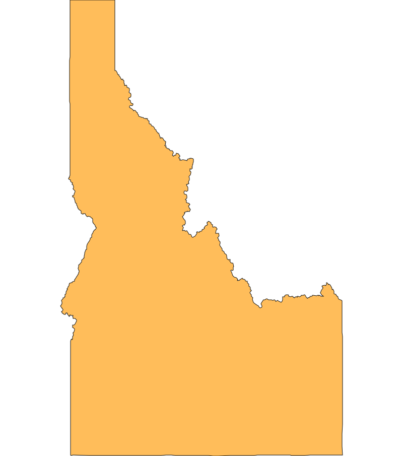
5 Miles N from Wallace, IDOVERVIEW
Dudley Fire started on 08/26 and is currently at 800 acres and 88% containment.Inciweb Media

Recent media provided by InciWeb of Idaho fire activity.
Dudley Fire Report — September 4, 2026
Evacuation notices lifted as rain aids mop-up along containment lines
The Dudley Fire is burning in Shoshone County within the Coeur d'Alene River Ranger District, west of Dobson Pass. Wetting rainfall and cooler weather have moderated fire activity to creeping and smoldering, allowing crews to check spread along Cedar Creek Road and transition into mop-up and suppression repair. The fire no longer poses an active threat to nearby communities, and all evacuation notices have been cancelled.
Evacuations and Closures
- All Level 1 'Ready' evacuation notices for Blackcloud, Dobson Pass, Ferguson, and Nine Mile were cancelled on September 2.
- Dobson Pass Road (Forest Service Road 456 / Beaver Creek Road) remains closed between Delta and Nine-Mile Junction for firefighting equipment transit and hazard tree removal as of September 3.
- An emergency Forest Service Area and Road Closure (Order 01-04-03-26-009) remains in effect across the Coeur d'Alene River Ranger District around the fire perimeter as of September 1.
- A Temporary Flight Restriction remains in effect over the incident area as of September 1.
Impact
Power utility lines passing through the fire area were de-energized to safeguard ground and aerial crews. Structure protection systems, including sprinkler lines and portable water tanks, were established around residences in Carbon Center, Ferguson, and Upper Nine Mile.
Conditions and Outlook
Cool weather with light winds and periodic chances of rain is expected to continue over the next few days, keeping relative humidity high. Fire behavior is forecast to remain minimal with smoldering in interior fuels. Firefighters plan to secure containment lines north of Forest Service Road 424 and west of Dobson Pass Road, hold lines south of Forest Service Road 456, and continue suppression repair.
Cause and Context
The wildfire was naturally caused by lightning strikes during regional storm activity on August 26, 2026. The incident is being managed under full suppression by a Type 3 Incident Management Team.
Resources
Official updates current through September 4, 2026.
 View All