Thumb
Environment
Right Now
| TODAY | AUG 11 | AUG 12 | AUG 13 | |
|---|---|---|---|---|
| Weather | | | | |
| Area Fire Potential | TODAY Low AUG 11 Low AUG 12 Low AUG 13 Low | |||
| Area Fuels | Closed Timber Litter | |||
Response
LEAD AGENCY
Forest ServiceRESPONSE LEVEL
Type 1Details
Thumb Fire Report — August 9, 2026
Fire Start, Size and Growth
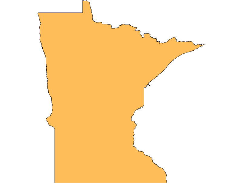
Start Date/Time/Location: The Thumb Fire ignited on the afternoon of July 7, 2026, following a lightning strike. It is located in a highly remote area of St. Louis County, Minnesota, between Thumb and Contentment Lakes, south of Lac La Croix, within the Boundary Waters Canoe Area Wilderness (BWCAW).
Size and Containment: As of the latest reporting over the last 72 hours, the fire has burned approximately 17,634 acres (with total acreage reaching over 18,193 acres including the portion that crossed into Canada) and is currently 48% to 50% contained.
Fuels, Growth and Rate of Spread: The fire is burning primarily in closed timber litter, grass, and understory. It has averaged approximately 551 acres of growth per day. Over the last 72 hours, fire behavior has moderated, characterized by flanking, backing, and isolated torching. The fire has burned deep into the ground—in some areas up to 20 to 30 feet into the dry soil and root systems.
Containment Efforts: The fire is being managed by a Complex Incident Management Team. There are currently 82 personnel directly assigned to the incident, with over 900 personnel operating across the broader regional complex. Because ground access in the BWCAW is highly restricted and unsafe for traditional hand crews, firefighters are heavily relying on aircraft to drop water. Recent efforts include fortifying containment lines near Loon Lake and placing a temporary radio tower and remote weather station. The estimated cost of the suppression effort is approximately $2.7 million.
Emergency Information
Evacuations and Sheltering:
Mandatory Evacuation Orders: Due to the remote location, mandatory evacuations primarily applied to backcountry campers and visitors. The U.S. Forest Service issued a complete closure and evacuation order for the Boundary Waters Canoe Area Wilderness (BWCAW).
Evacuation Warnings: Evacuation warnings ("Set" and "Ready" statuses) were issued for surrounding areas near the wilderness boundaries, including portions of the Gunflint Trail and Echo Trail.
Curfew: No curfews have been reported for this incident.
Evacuation Shelters and Information: A temporary public evacuation shelter was established at the Babbitt Municipal Building at 71 South Drive in Babbitt, Minnesota. An estimated 8,000 people have been evacuated statewide due to the broader regional fire emergency, including hundreds of backcountry campers.
Road and Infrastructure Closures:
- The Boundary Waters Canoe Area Wilderness (BWCAW) is closed to all visitors, and entry points near the fire remain closed.
- Sections of the Echo Trail have experienced closures and traffic control. The road has been closed daily from 9:30 a.m. to 7:00 p.m. from North Arm Road to Forest Road 200 to allow heavy equipment room to work.
- The Fernberg Road corridor has also experienced intermittent closures and traffic control for firefighting operations.
For more information, visit:
- Minnesota Incident Command System (MNICS)
- U.S. Forest Service - Superior National Forest
- Lake County Emergency Management
Current Impact
Impacts:
Injuries and Fatalities: No specific injuries or fatalities have been reported in connection with the Thumb Fire.
Structures Impacted: Due to its remote wilderness location, no structures have been reported destroyed by the Thumb Fire, though the broader regional fires have threatened infrastructure.
School and Business Closures: Local wilderness outfitters and guide businesses have been heavily impacted by the cancellation of BWCAW permits and the evacuation of campers.
Notable Impacts: The fire has crossed the international border into Canada, requiring coordination with Canadian authorities and the Gakijiwanong Anishnaabe Nation. The closure of the BWCAW has displaced hundreds of visitors during the peak summer recreation season.
Safety Concerns:
Power Outages: No significant power outages have been reported as a result of this specific fire.
Water Safety: Visitors and residents are advised to stay off local lakes where aircraft are actively gathering water for suppression efforts.
Burn Bans: Fire restrictions and burn bans remain in place across the Superior National Forest and St. Louis County due to extreme fire danger.
Air Quality: The Minnesota Pollution Control Agency (MPCA) has issued extensive Air Quality Alerts. Dense smoke from the Thumb Fire and other regional wildfires has caused hazardous air quality across the Midwest, extending to the East Coast, posing significant health risks for sensitive groups.
Ongoing Outlook
Containment Projections: Despite reaching roughly 50% containment, officials anticipate the fire will continue to burn in some form until snow falls later this year. The fire's deep penetration into the root systems and the remote, rugged terrain make full suppression highly difficult.
Weather and Wind Warnings: Over the last 72 hours, temperatures dropped into the 40s overnight, with daytime temperatures remaining cool. Winds are expected to blow from the west and southwest with gusts up to 20 mph, before shifting to the northwest. An extended stretch of dry weather with near to below-normal temperatures is expected into next week.
Cause and the Role of Weather and Climate
Cause: The Thumb Fire was ignited by a natural lightning strike on July 7, 2026.
Weather and Climate: The fire's significant growth has been fueled by unprecedented dry, warm, and windy conditions across northern Minnesota. An intense period of hot weather critically dried out vegetation, and underlying drought conditions have made the landscape highly vulnerable. These extreme climate conditions have allowed the fire to burn deeply underground, severely challenging suppression efforts.