Wolfpack
 wildfire past fire
Updated
Response
LEAD AGENCY
Forest ServiceRESPONSE LEVEL
Type 1

Details

INCIDENT DETAILS

FIRE BEHAVIOR
Moderate
DESCRIPTION
33 Miles NW from Ely, MNOVERVIEW
Wolfpack Fire started on 07/09 and is currently at 6,871 acres and 100% containment.Wolfpack Fire Report — August 13, 2026
Wolfpack Fire Report - August 13, 2026
Fire Start, Size and Growth
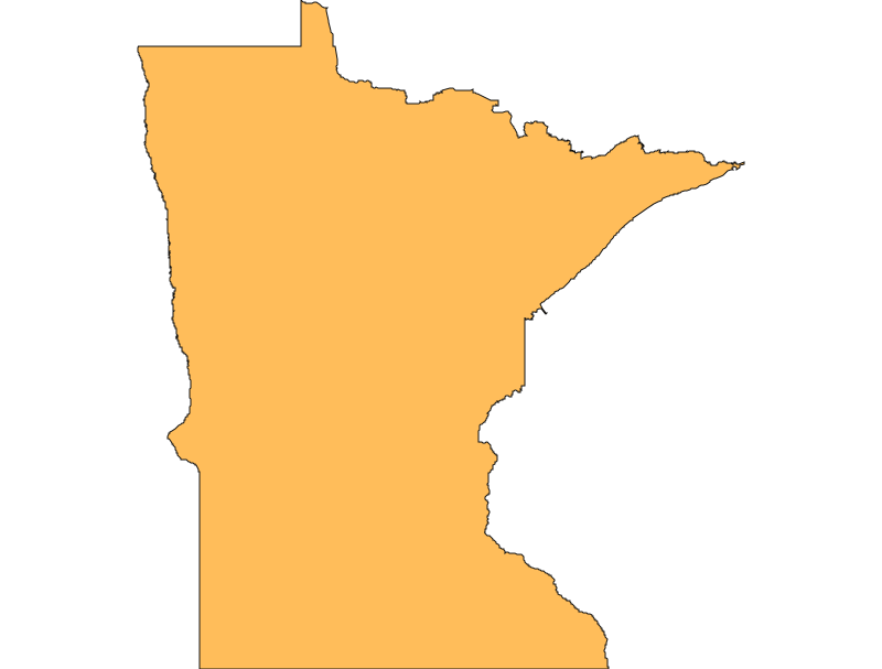
Start Date/Time/Location: The Wolfpack Fire ignited on July 9, 2026, in St. Louis County, Minnesota. The fire is located in a remote wilderness area approximately 33 miles northwest of Ely, north of the Echo Trail and east of Loon Lake, within the Superior National Forest.
Size and Containment: Based on the latest official incident reports, the fire has burned approximately 6,871 acres and is currently 23% contained.
Fuels, Growth and Rate of Spread: The fire is primarily burning in closed timber litter and dry vegetation. Fire behavior has been characterized as moderate, consisting mostly of backing fire and isolated torching. The fire has steadily consumed acreage over the past month, averaging roughly 200 to 215 acres of growth per day since its inception.
Containment Efforts: The incident is being managed by a Complex Incident Management Team under a Type 1 Incident designation, with over 70 personnel assigned. Due to the remote location, crews have been accessing the southern edge of the fire by canoe and foot. Firefighters have successfully completed a containment handline on the west side, extending from Forest Road 199 north to the Loon River, and are conducting direct attacks near Pauness Lake.
Emergency Information
Evacuations and Sheltering:
Mandatory Evacuation Orders: There are currently no "GO" (Level 3) mandatory evacuation orders specifically isolated to the Wolfpack Fire perimeter at this time.
Evacuation Warnings: A Level 2 "SET" evacuation warning remains in effect for nearby residents, including Zones SL-200 and SL-201. Residents in these areas must be prepared to leave at short notice and should have important documents, medications, pets, and emergency supplies ready.
Curfew: No curfews have been reported for this incident.
Evacuation Shelters and Information: Residents are encouraged to monitor St. Louis County Emergency Management for real-time shelter deployments and updates should evacuation orders be upgraded.
Road and Infrastructure Closures:
- The Echo Trail is closed to travel in the vicinity of the fire to allow emergency crews to operate safely and prevent civilian endangerment.
- The U.S. Forest Service has implemented emergency closures for multiple public entry points, trails, and recreation sites within the Boundary Waters Canoe Area Wilderness (BWCAW).
For more information, visit:
- Minnesota Department of Natural Resources (DNR) - Wildfire Information
- St. Louis County Emergency Management
- U.S. Forest Service - Superior National Forest
Current Impact
Impacts:
Injuries and Fatalities: There have been no reported injuries or fatalities associated with the Wolfpack Fire.
Structures Impacted: No structures have been reported destroyed. Firefighters continue to monitor the area and implement structure protection measures for remote cabins and infrastructure as necessary.
School and Business Closures: No major school or business closures have been reported, as the fire is burning in a remote wilderness area.
Notable Impacts: The primary community impact has been on recreation, with significant closures across the Boundary Waters Canoe Area Wilderness disrupting summer tourism, camping, and outdoor activities.
Safety Concerns:
Power Outages: No power outages have been reported in connection with this fire.
Water Safety: No specific water safety concerns have been issued, but recreational water access in the closed BWCAW zones is strictly prohibited.
Burn Bans: Strict fire restrictions are in place. Campfires are fully prohibited in the BWCAW and backcountry campsites. Class III fire restrictions allow campfires only in designated metal fire rings at developed and rustic recreation campgrounds.
Air Quality: Smoke from the fire continues to be visible and may pose health risks to vulnerable populations in St. Louis County. Residents are advised to monitor local air quality indices and limit outdoor exposure if smoke settles into the area.
Ongoing Outlook
Containment Projections: Firefighters are making steady progress, holding containment at 23%. Crews will continue to secure the fire's edge, improve containment lines, and mop up hotspots. Due to the remote terrain and wilderness setting, full containment will take time, but officials are optimistic about holding the established lines on the western flank.
Weather and Wind Warnings: The weather forecast for St. Louis County over the next 72 hours predicts partly sunny to cloudy conditions with high temperatures in the mid-to-upper 70s. While fine fuels remain dry and susceptible to ignition, there is a 45% chance of light rain forecast for Saturday, August 15, which could assist suppression efforts. No Red Flag Warnings are currently active.
Cause and the Role of Weather and Climate
Cause: The Wolfpack Fire was caused by a lightning strike on July 9, 2026.
Weather and Climate: The fire was ignited during a period of dry vegetation, warm summer temperatures, and challenging fire weather conditions. Below-average moisture in the dense timber litter created highly receptive fuel beds for lightning strikes, allowing the fire to establish itself and grow steadily in the remote wilderness.
 View All