Bear
 wildfire
 ACRES BURNED
7,769
STATE
New Mexico
ORIGIN COUNTY
CatronCONTAINMENT
100%
THIS FIRE IS STALE
This incident has not been updated in more than three days. Data may be inaccurate.
Response

LEAD AGENCY
Forest ServiceRESPONSE LEVEL
Type 3

Details

INCIDENT DETAILS

FIRE BEHAVIOR
Minimal
NEAREST CITY
—
DESCRIPTION
18 Miles SE from Quemado, NM
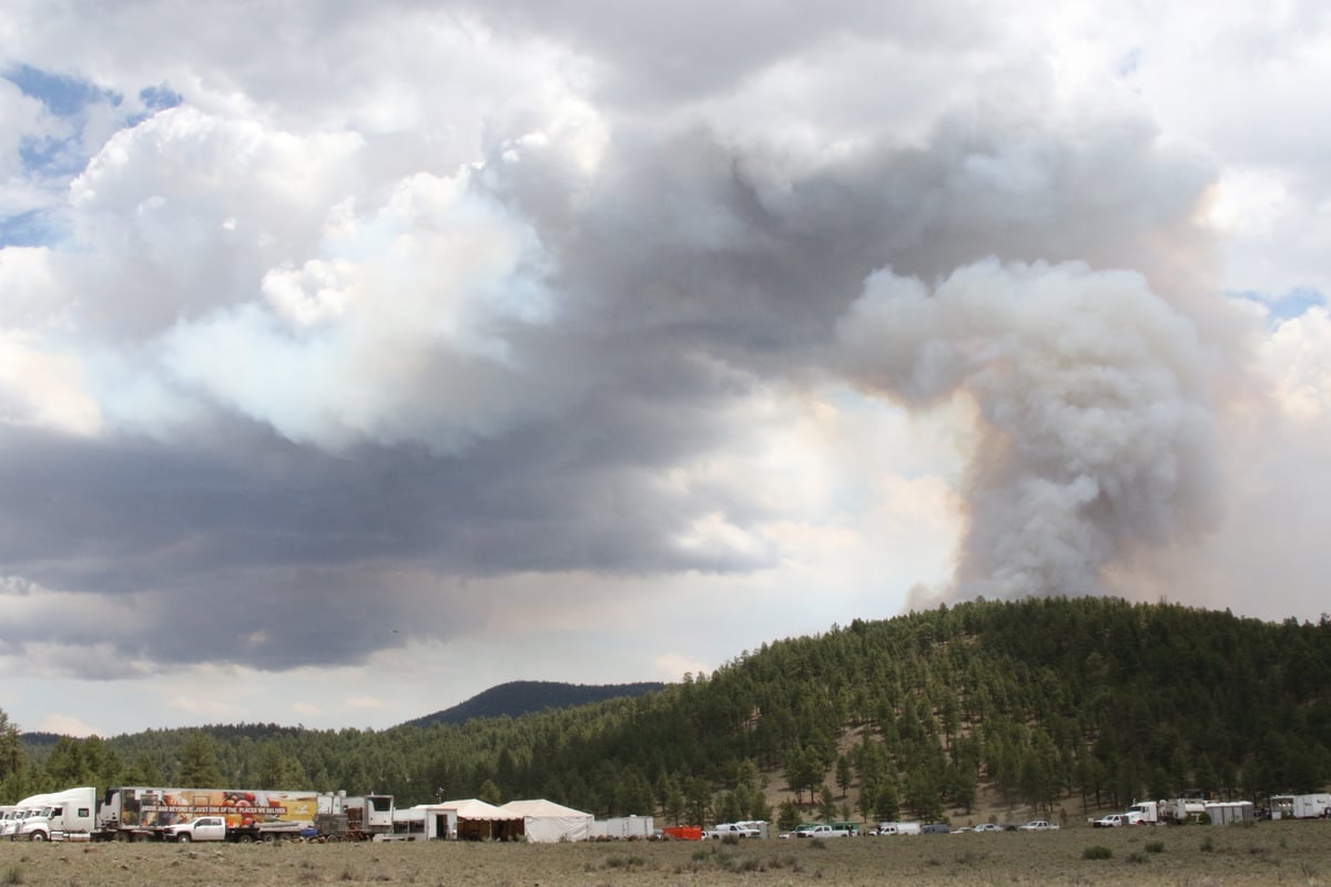
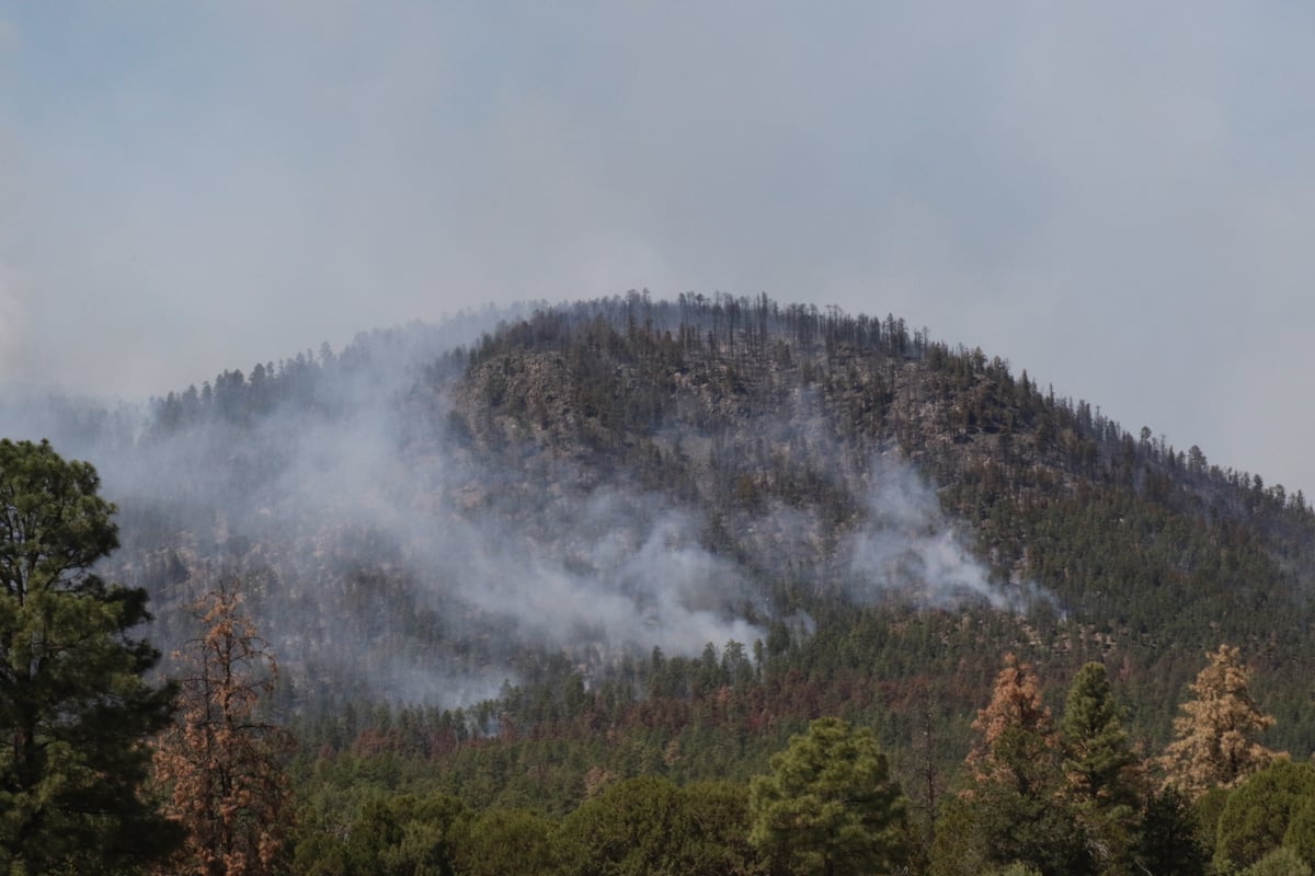
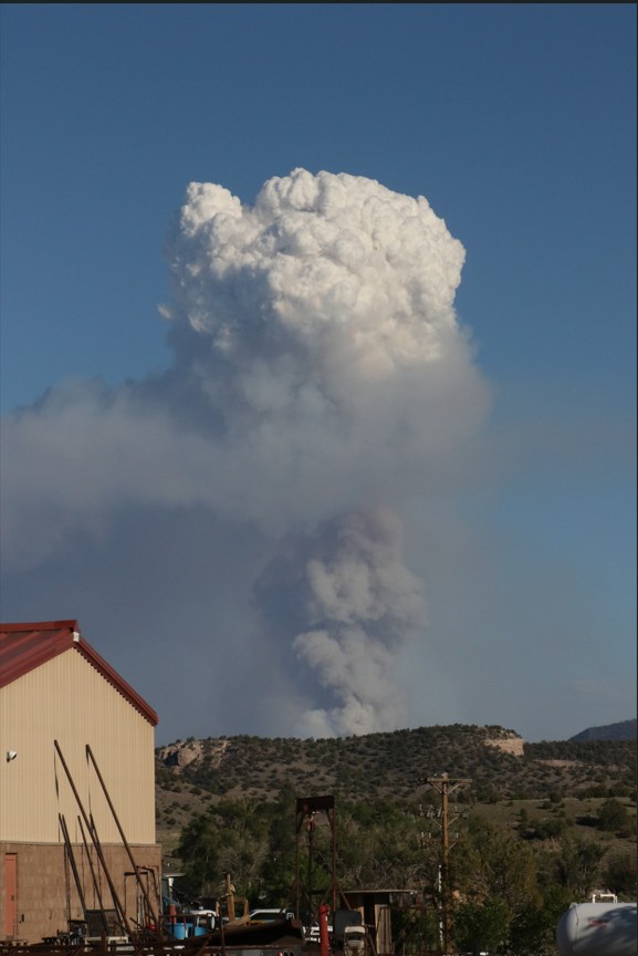
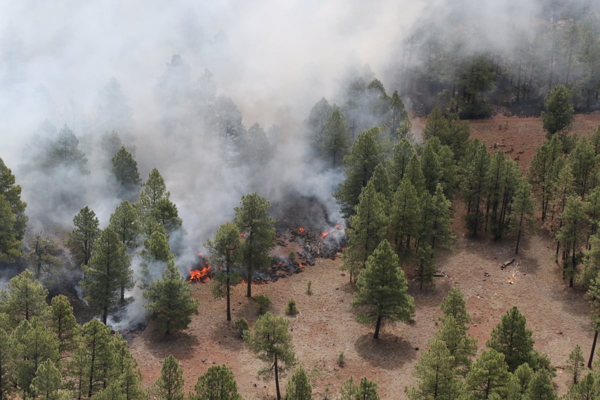
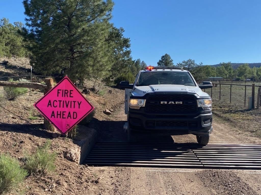
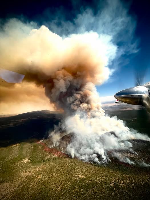
Bear Fire Report — June 18, 2026
Fire Start, Size and Growth
Start Date/Time/Location: The Bear Fire ignited on June 9, 2026, approximately 18 miles southeast of Quemado and east of Mangas Mountain in Catron County, New Mexico, within the Quemado Ranger District of the Gila National Forest. The exact start time has not been officially specified.
Size and Containment: As of the latest updates over the last 24 to 72 hours, the fire has burned 7,769 acres and containment has significantly increased to 61%.
Fuels, Growth and Rate of Spread: The fire is burning in dense Ponderosa Pine and mixed conifer, with a heavy dead and down component in steep terrain. Situated in an extreme drought-stricken area with heavy fuel loading, the fire initially showed active behavior. However, the rate of spread has halted over the last 48 hours, with the fire showing no new acreage growth as containment lines hold.
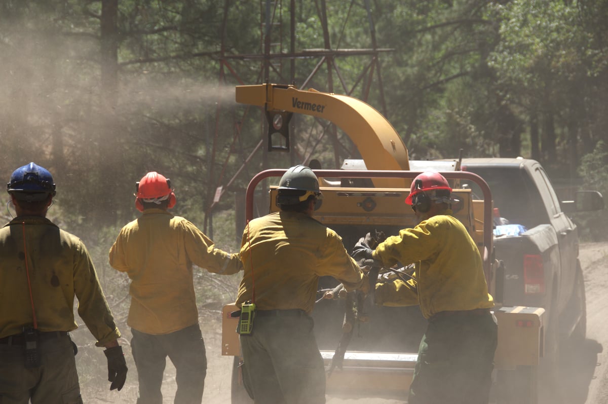
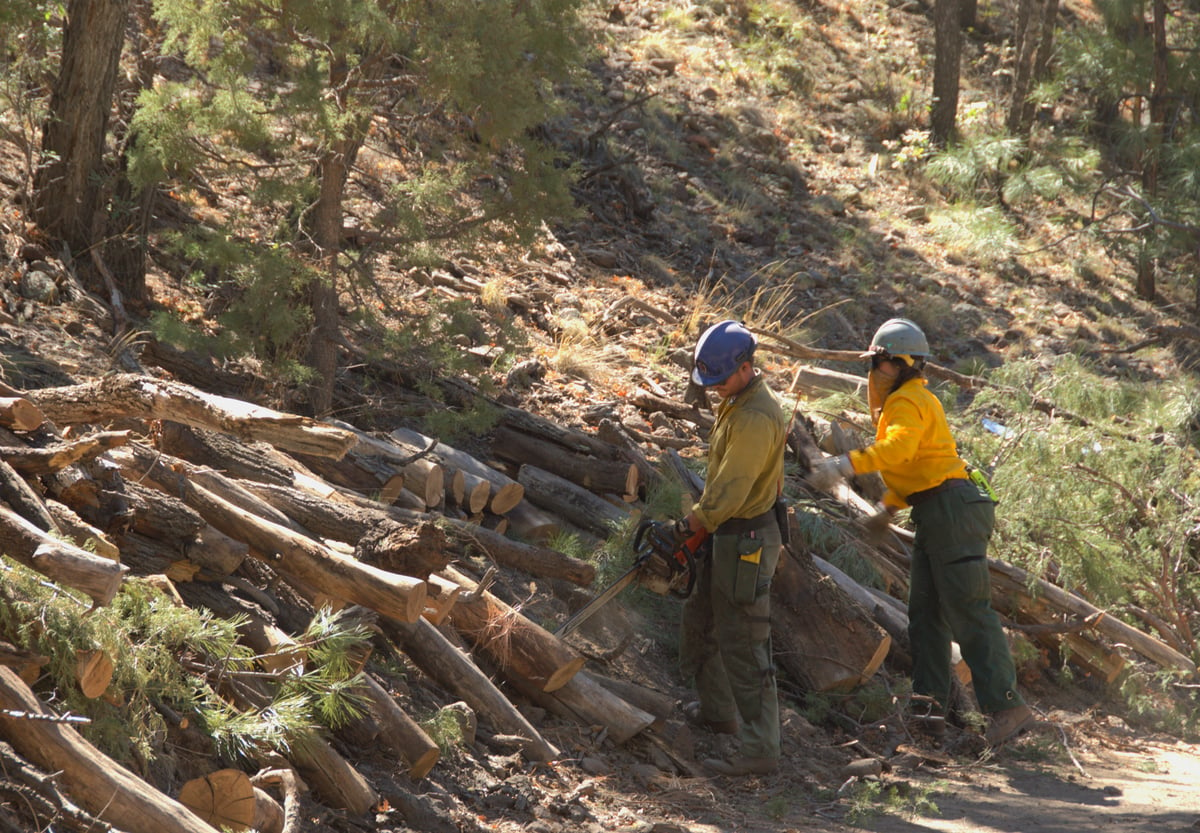
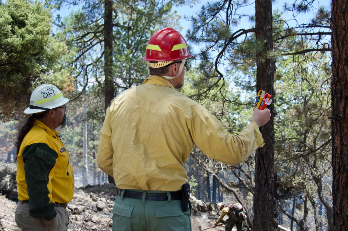
Containment Efforts: Around-the-clock suppression actions have led to a massive jump in containment. Firefighters successfully ensured containment lines held when higher temperatures and drier air moved in. Efforts are currently focused on extinguishing hotspots along the fire perimeter and using heavy equipment for suppression repair. There are currently 495 personnel assigned to the incident, supported by helicopters, fixed-wing aircraft, dozers, and hand crews.
Emergency Information
Evacuations and Sheltering:
Mandatory Evacuation Orders: There are currently no mandatory evacuation orders in place.
Evacuation Warnings: The Catron County Emergency Management Office and Catron County Sheriffs have implemented the Ready, Set, Go! method. Zones 2, 3, and 4—identified zones of private land east of the fire—are in SET status (Level 2 Evacuation Warning). The exact number of people impacted has not been officially released, but residents in these zones are encouraged to monitor official updates and be prepared to leave if conditions worsen.
Curfew: No curfews have been reported for this incident.
Evacuation Shelters and Information: No emergency shelters have been opened yet as there are no mandatory orders. Residents should remain alert and monitor official county updates for any changes to evacuation statuses.
Road and Infrastructure Closures:
- The Gila National Forest has enacted an Area Closure Order for the Bear Fire vicinity.
- A 24-hour Temporary Flight Restriction (TFR) is in place over the fire area to allow safe operations for firefighting aircraft.
- Aircraft are sourcing water out of Quemado Lake; members of the public are ordered to avoid the lake and all areas where firefighting operations are occurring.
For more information, visit:
- New Mexico Fire Information (NM Fire Info)
- InciWeb - Bear Fire
- Gila National Forest Official Facebook
Current Impact
Impacts:
Injuries and Fatalities: There have been no reported injuries or fatalities associated with the Bear Fire.
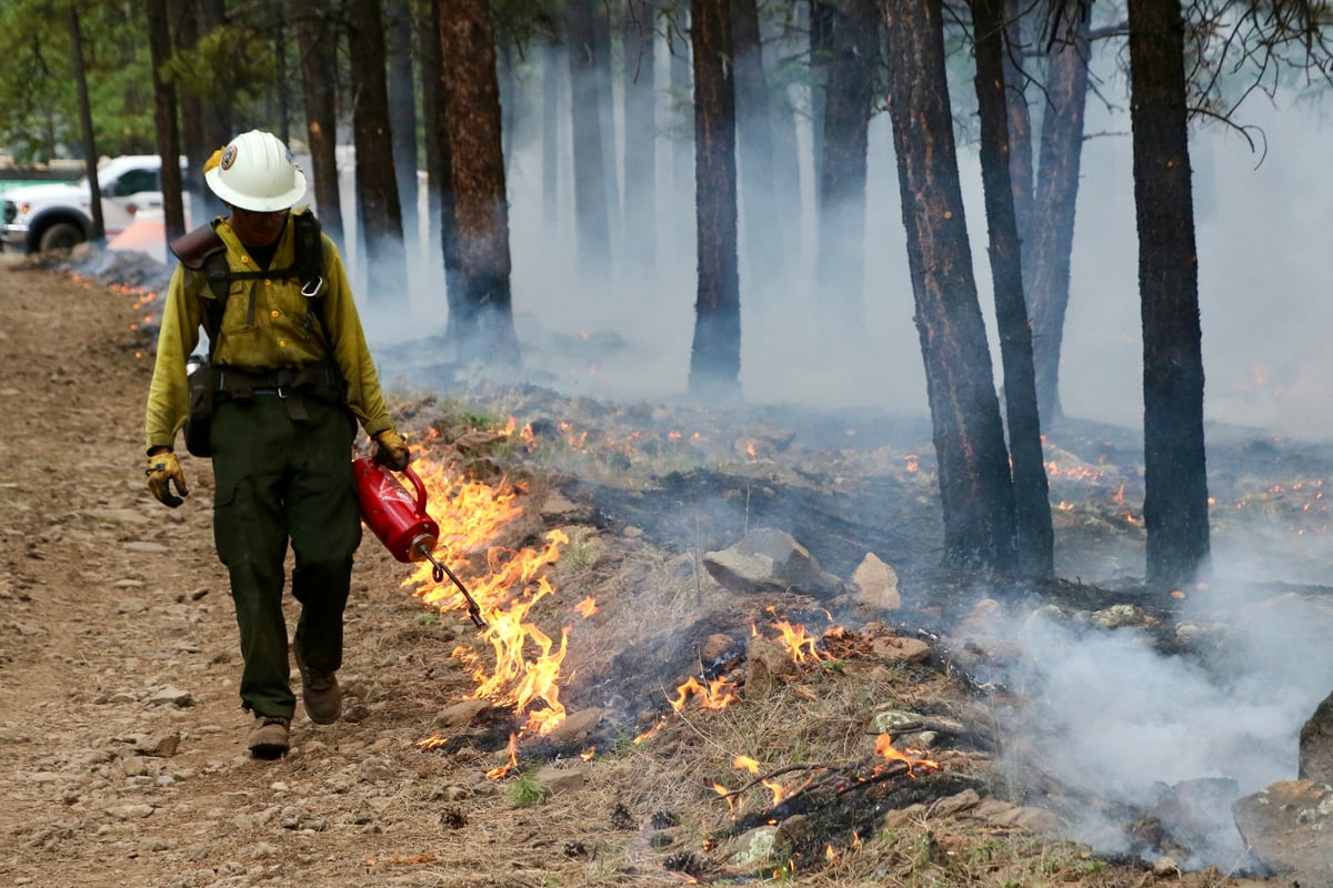
Structures Impacted: No structures have been reported damaged or destroyed. Firefighters have successfully conducted defensive firing operations and constructed handlines to protect critical infrastructure and private and state land on the eastern flank.
School and Business Closures: There are no specific school or business closures reported at this time.
Notable Impacts: The fire threatened the Mangas Mountain Lookout and communication site, as well as critical power infrastructure. Crews successfully deployed heavy equipment and defensive tactics to protect these key values at risk.
Safety Concerns:
Power Outages: No power outages have been reported.
Water Safety: Aircraft are actively sourcing water from Quemado Lake. The public is advised to avoid the area to allow emergency operations to proceed safely.
Burn Bans: The Gila National Forest is in Stage 1 Fire Restrictions due to long-term severe drought and increased tree mortality. This limits campfires on forest land to designated recreation sites and campgrounds with constructed metal fire rings. Open burning is strictly prohibited in the unincorporated areas of Catron County and in Catron County Fire District 30.
Air Quality: Smoke originating from pockets of unburned fuel within the perimeter may still be visible in surrounding communities, including Apache Creek, Datil, Omega, Pie Town, Quemado, and Reserve. Air quality will vary based on fire activity and wind patterns. Residents should reduce prolonged outdoor activity when smoke is present, and sensitive groups should take extra precautions to limit smoke exposure.
Ongoing Outlook
Containment Projections: Firefighters have made tremendous progress, reaching 61% containment. Crews will continue working through the week to extinguish hotspots along the fire perimeter, reducing the potential for the fire to spread. Heavy equipment is now on-site to assist with suppression repair efforts, signaling a transition toward securing the fire's final footprint.
Weather and Wind Warnings: Red Flag critical fire weather conditions are expected today. The forecast shows temperatures in the low 80s with a minimum relative humidity of 10%. Winds are expected to gust up to 30 mph, which will test existing containment lines, though fire managers remain confident in the established perimeters.
Cause and the Role of Weather and Climate
Cause: The cause of the Bear Fire has been officially determined to be lightning.
Weather and Climate: The fire is burning in an area experiencing long-term severe drought, which has led to increased tree mortality across the Gila region. These extreme climate conditions, combined with heavy fuel loads and steep terrain, initially challenged containment efforts. Red Flag conditions, characterized by hot, dry air and gusty winds, continue to pose a threat, but moderated weather earlier in the week provided firefighters the critical window needed to halt the fire's progression.
 View All