SEVEN CABINS
ACRES BURNED
31,860
STATE
New Mexico
ORIGIN COUNTY
LincolnCONTAINMENT
94%
Environment
Right Now

| TODAY | JUN 9 | JUN 10 | JUN 11 | |
|---|---|---|---|---|
| Weather | | | | |
| Area Fire Potential | Low | Low | Low | Low |
| Area Fuels | Brush (2 feet) | |||
Response

LEAD AGENCY
Forest ServiceDetails
INCIDENT DETAILS
FIRE BEHAVIOR
MinimalNEAREST CITY
CapitanDESCRIPTION
13 Miles NE from Capitan, NM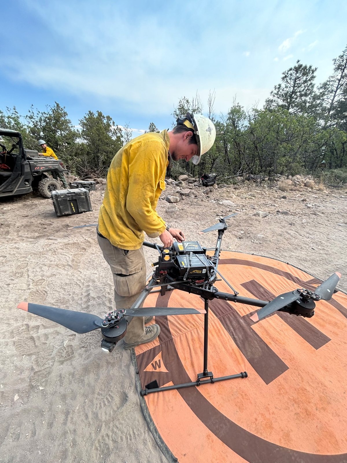


SEVEN CABINS Fire Report — June 8, 2026
Fire Start, Size and Growth
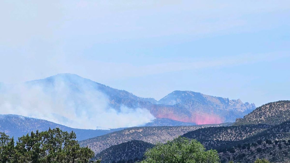
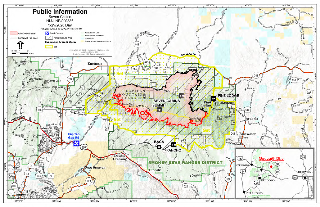
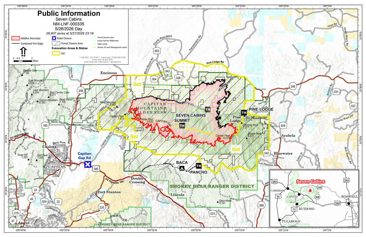
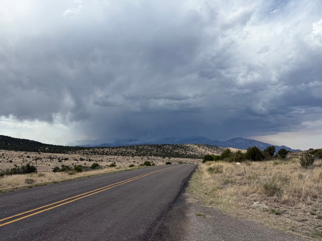
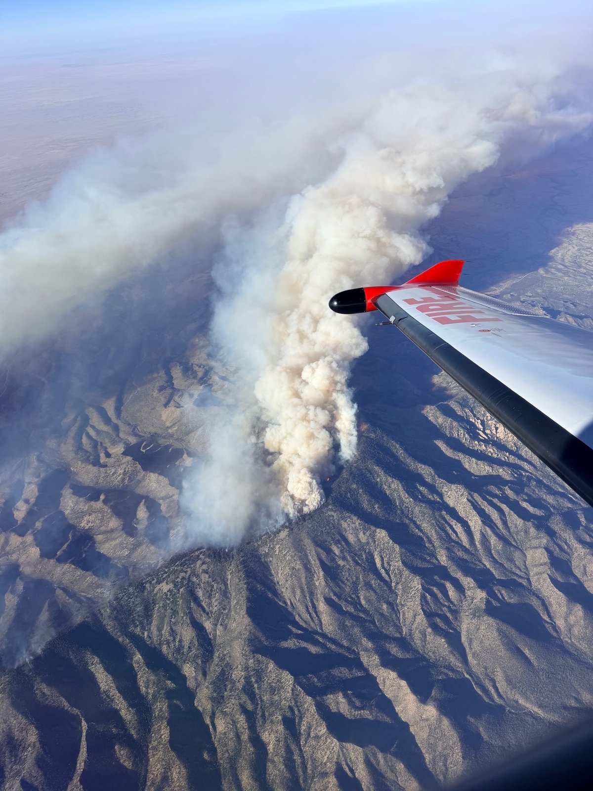
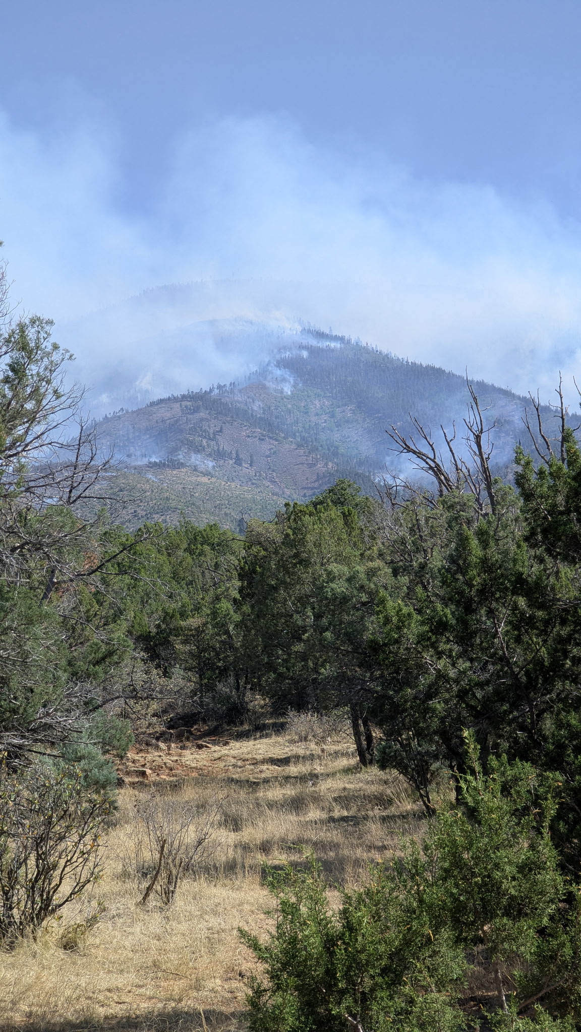
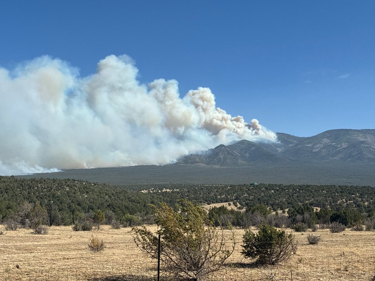
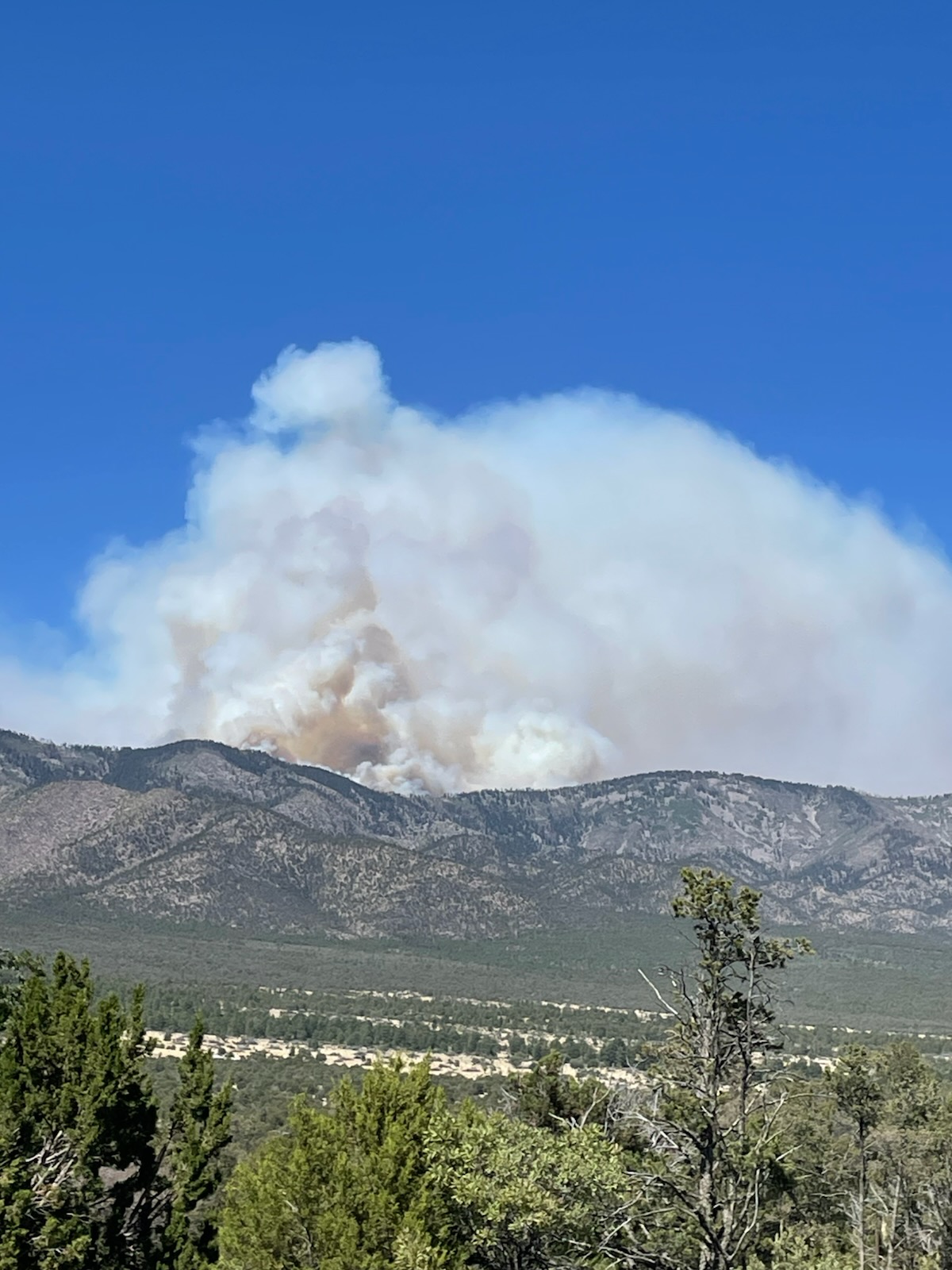
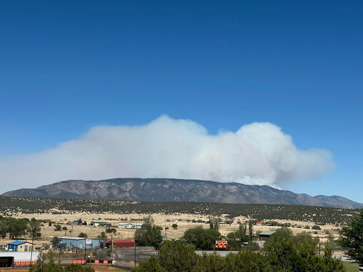
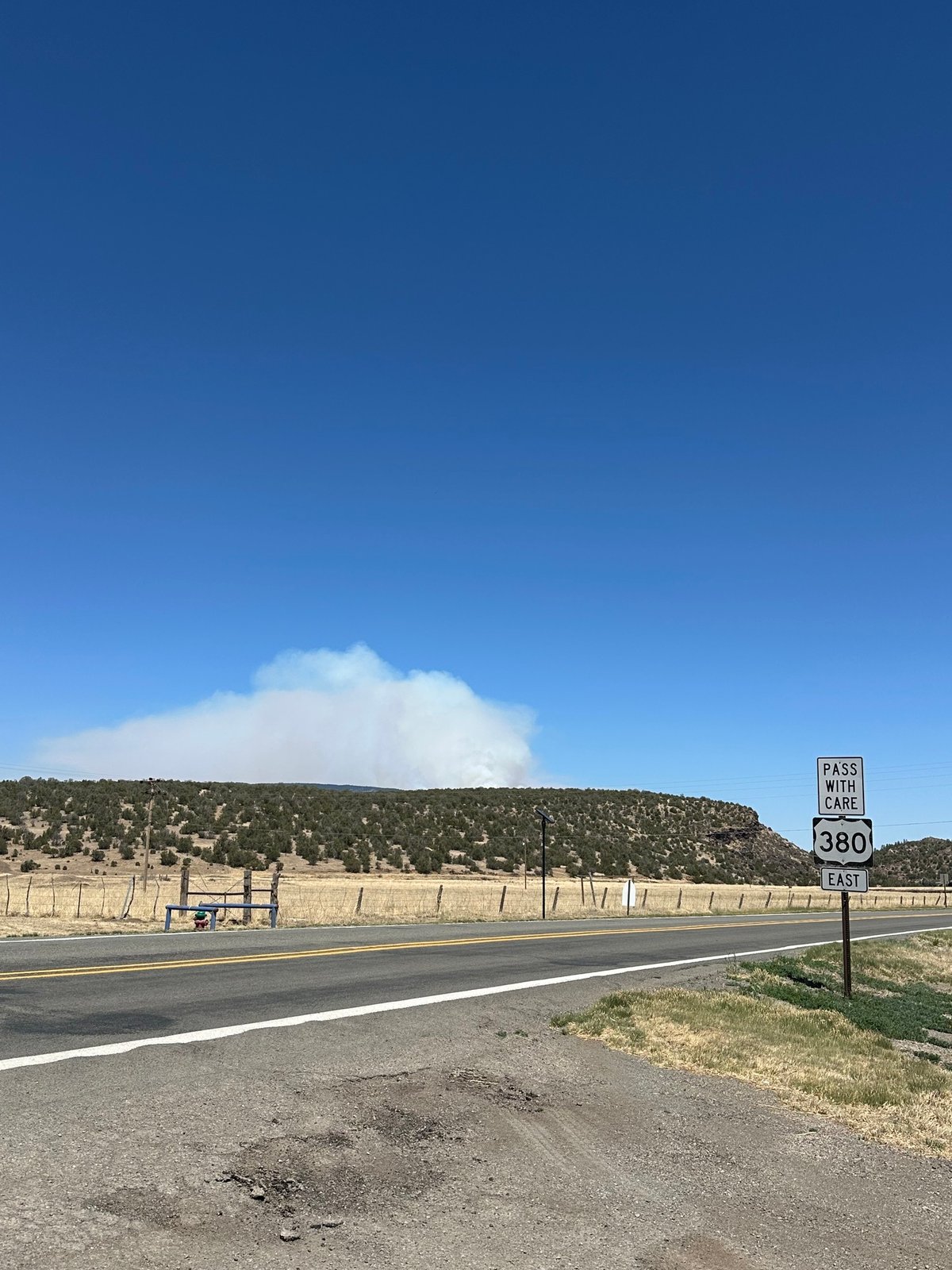
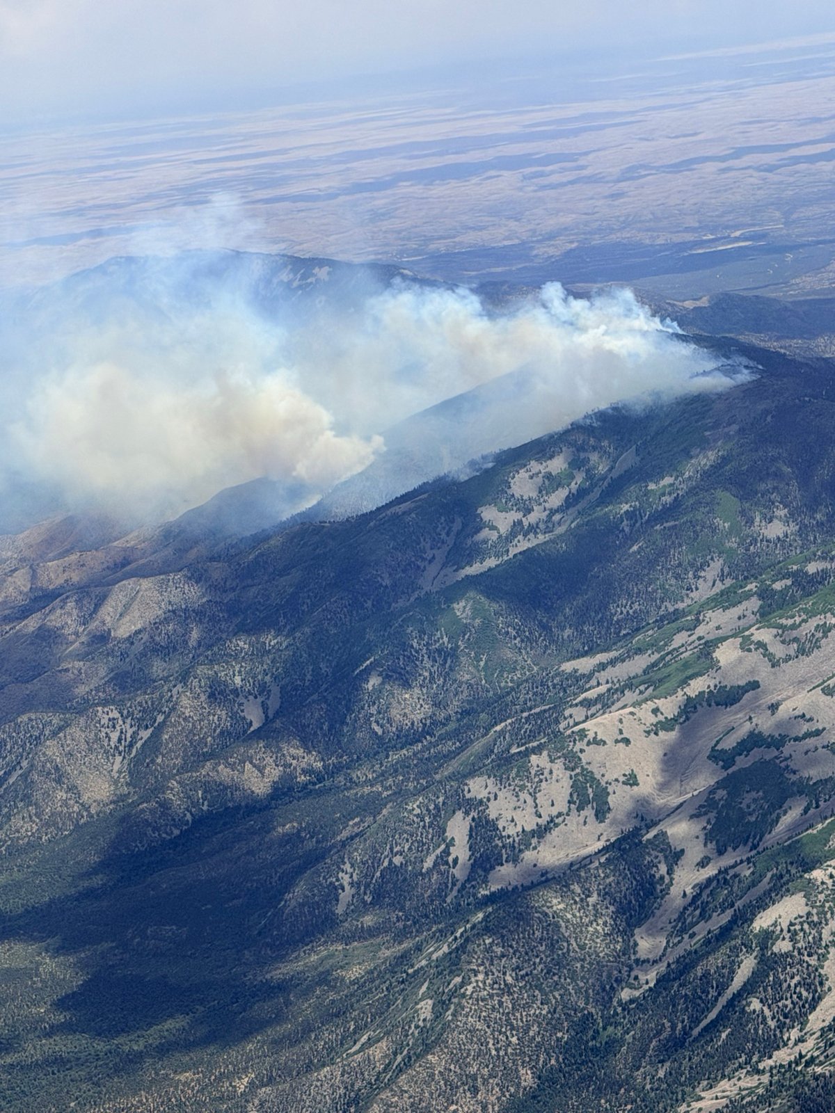
Start Date/Time/Location: The Seven Cabins Fire ignited on May 14, 2026, in the Capitan Mountains Wilderness in southern New Mexico. The fire is located near Capitan Gap Road, east of Capitan and approximately 25 miles northeast of Ruidoso, within the northern portion of the Lincoln National Forest.
Size and Containment: As of June 7, 2026, the fire has burned 31,870 acres and is currently 90% contained.
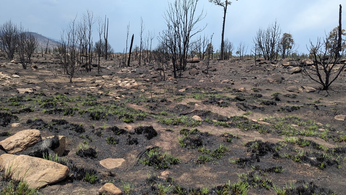
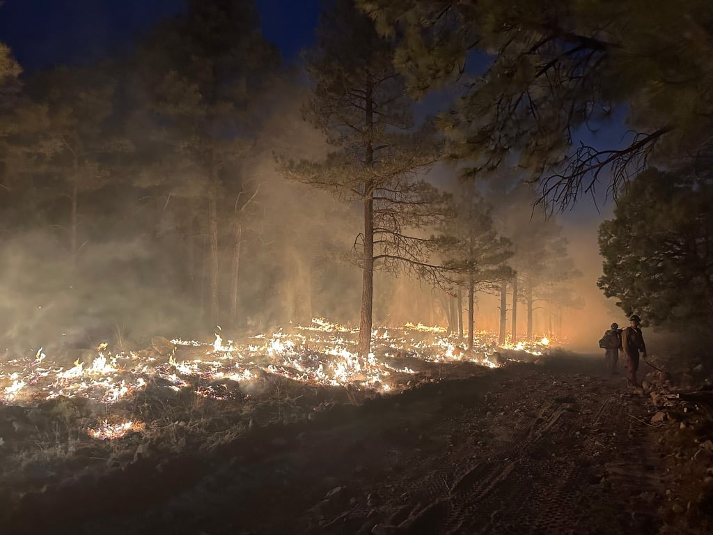
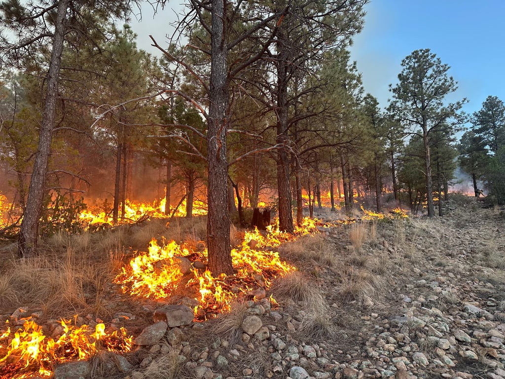
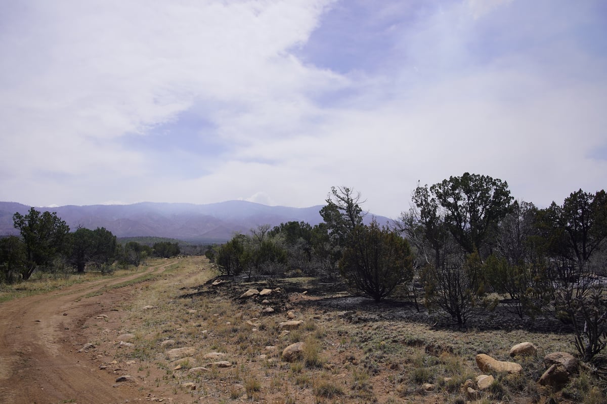
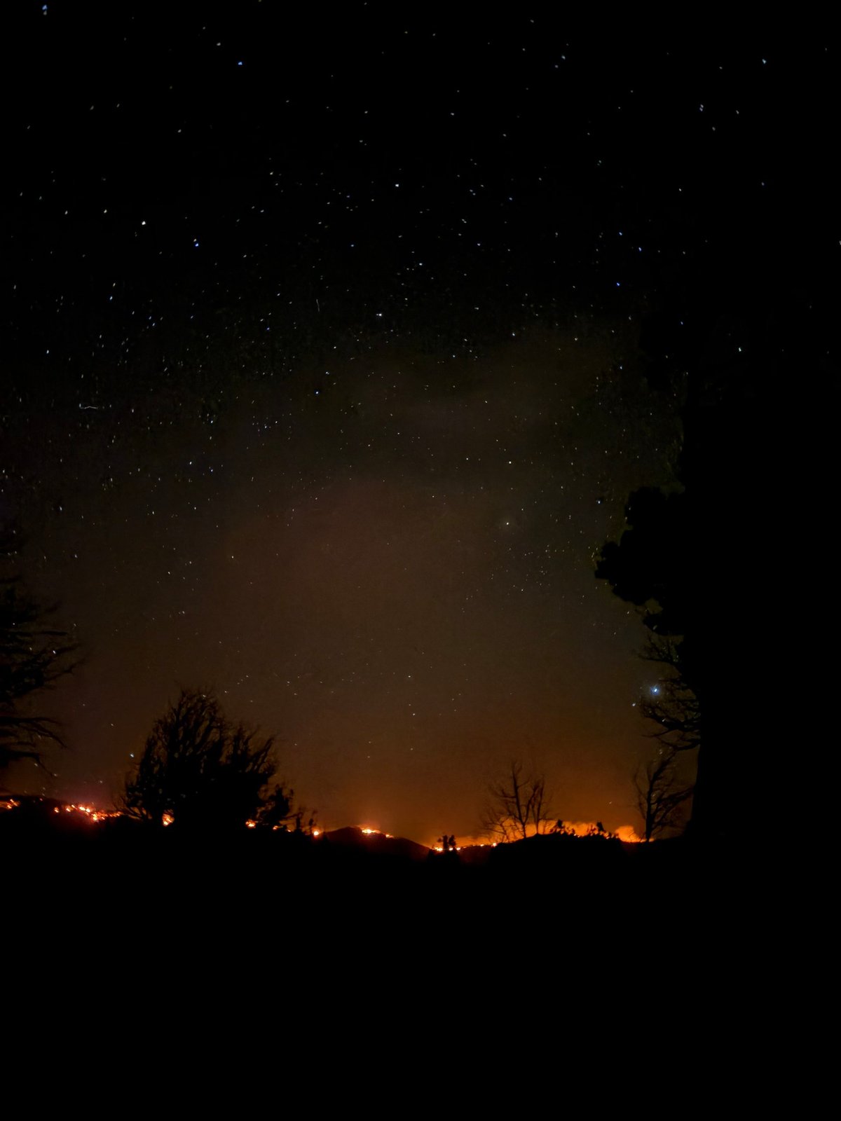
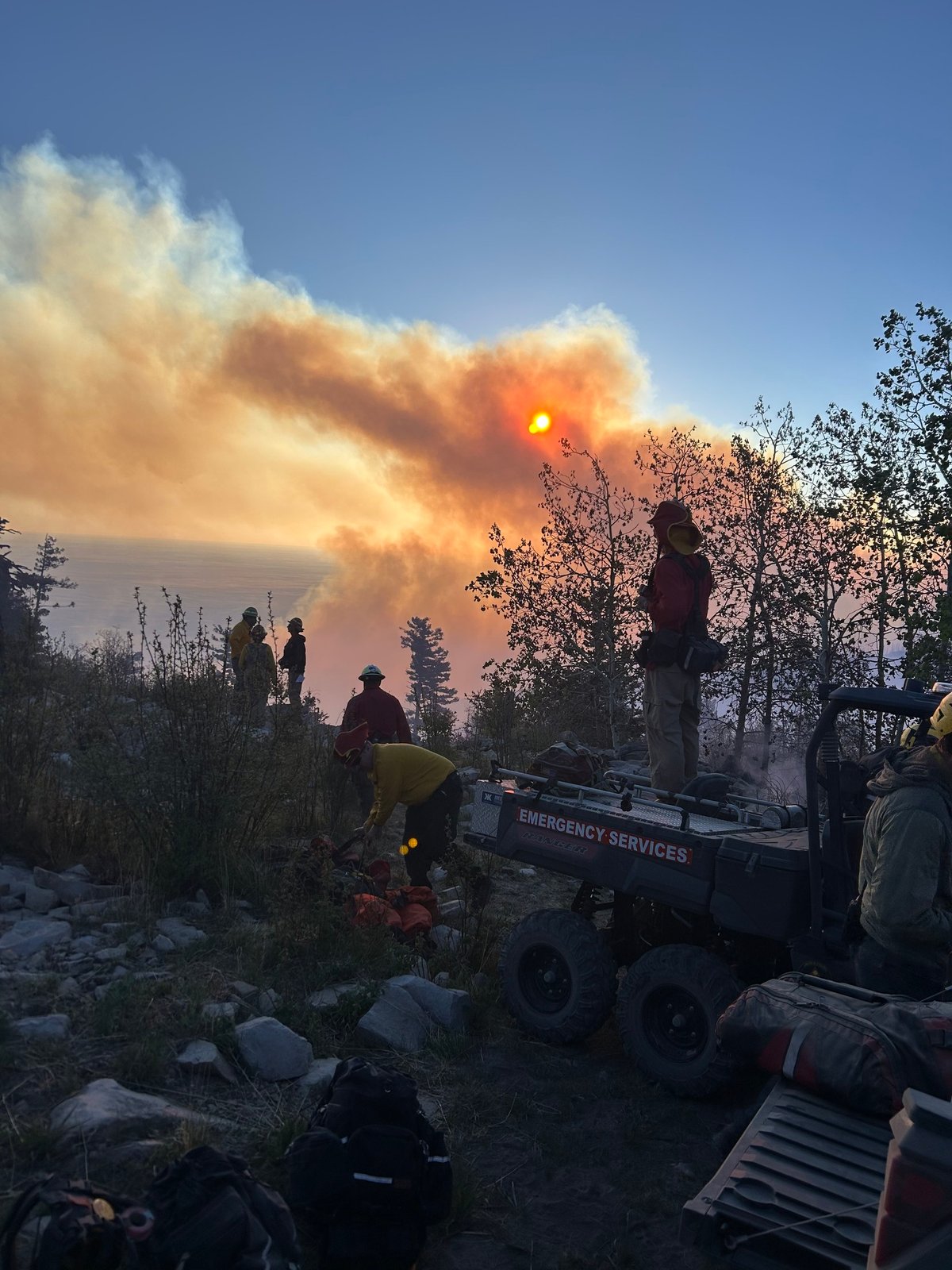
Fuels, Growth and Rate of Spread: The fire has been burning primarily in heavy dead fuels, specifically dry and downed logs situated within the 2024 Peppin Fire burn scar. The rugged terrain and extremely dry fuels initially created difficult firefighting conditions, allowing the fire to spread rapidly in its early days.
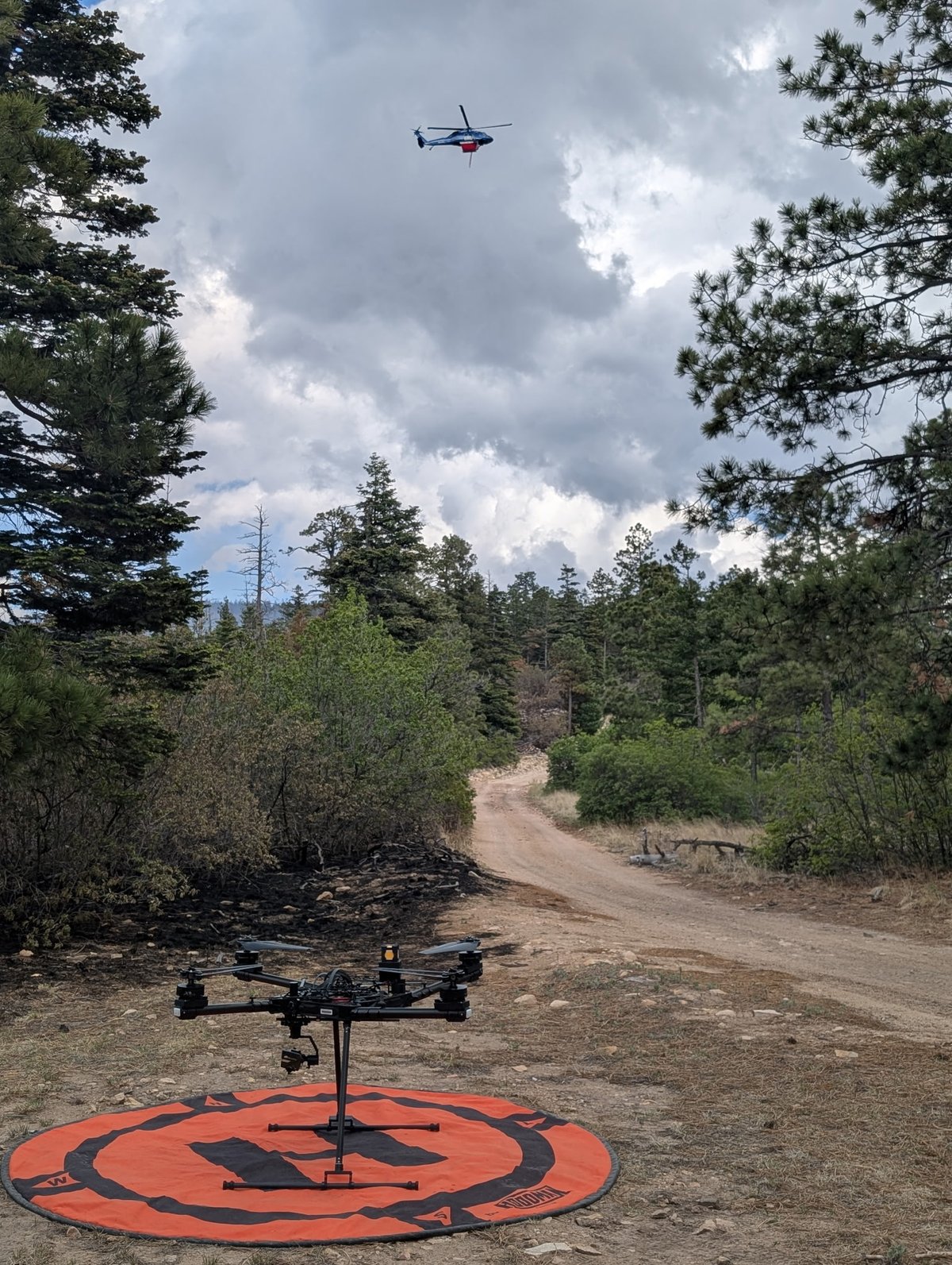
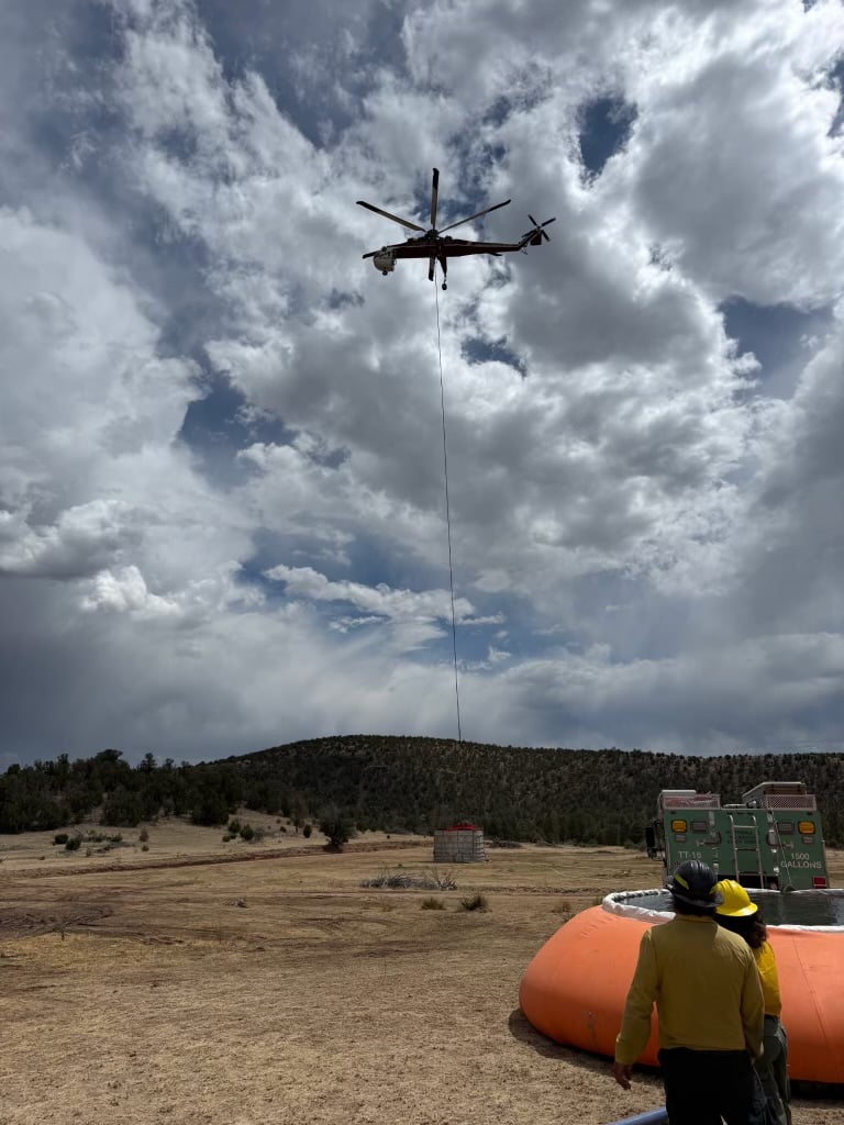
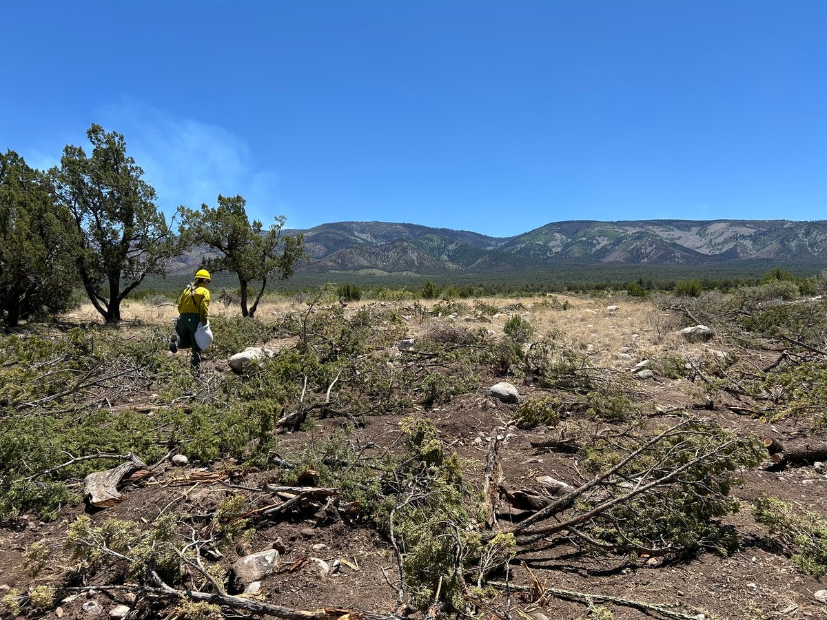
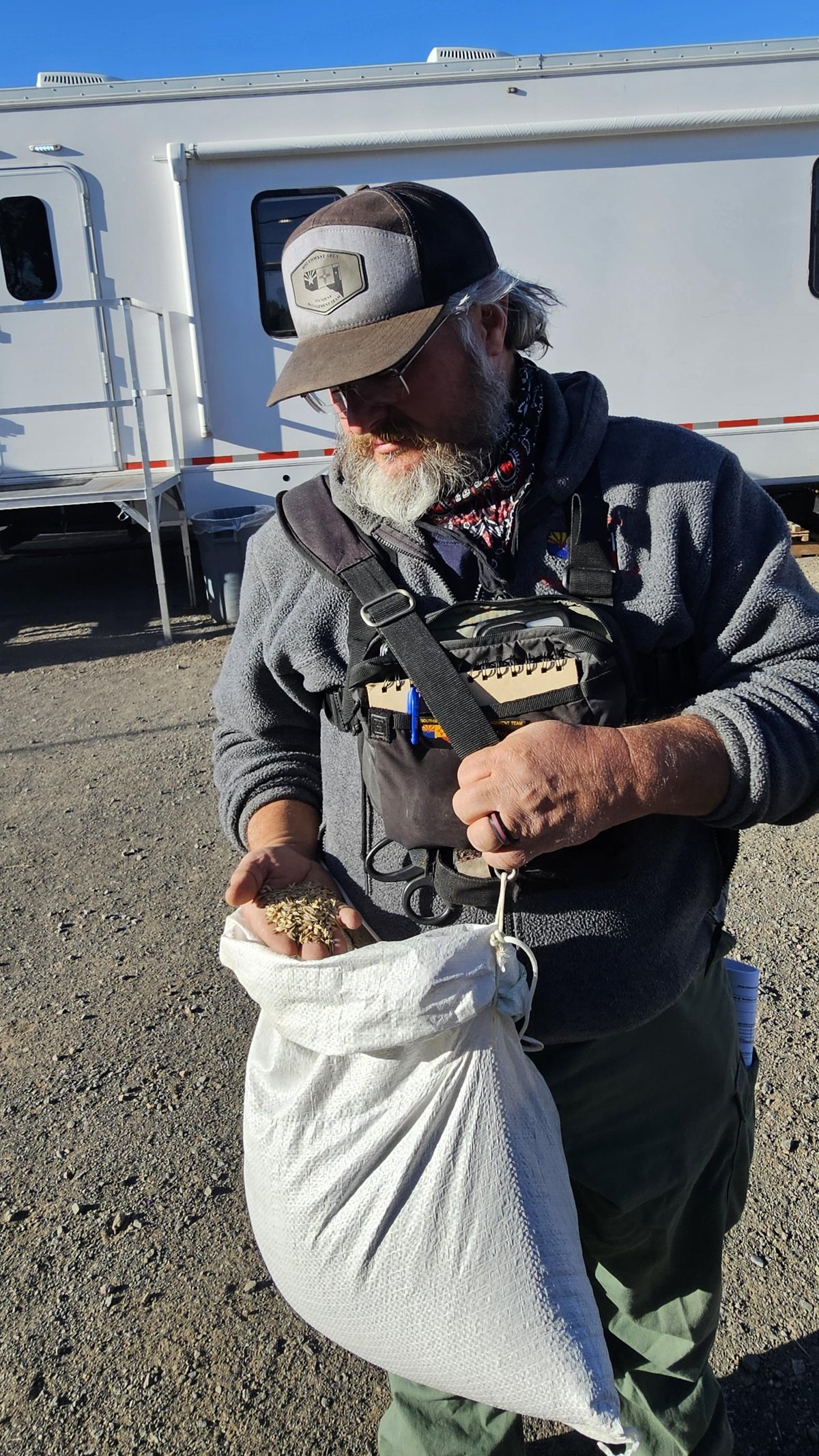
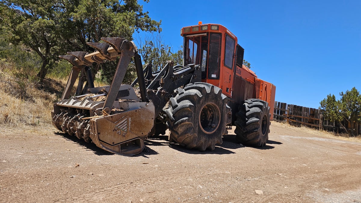
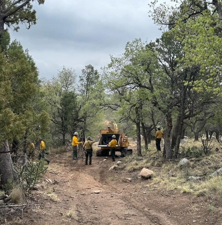
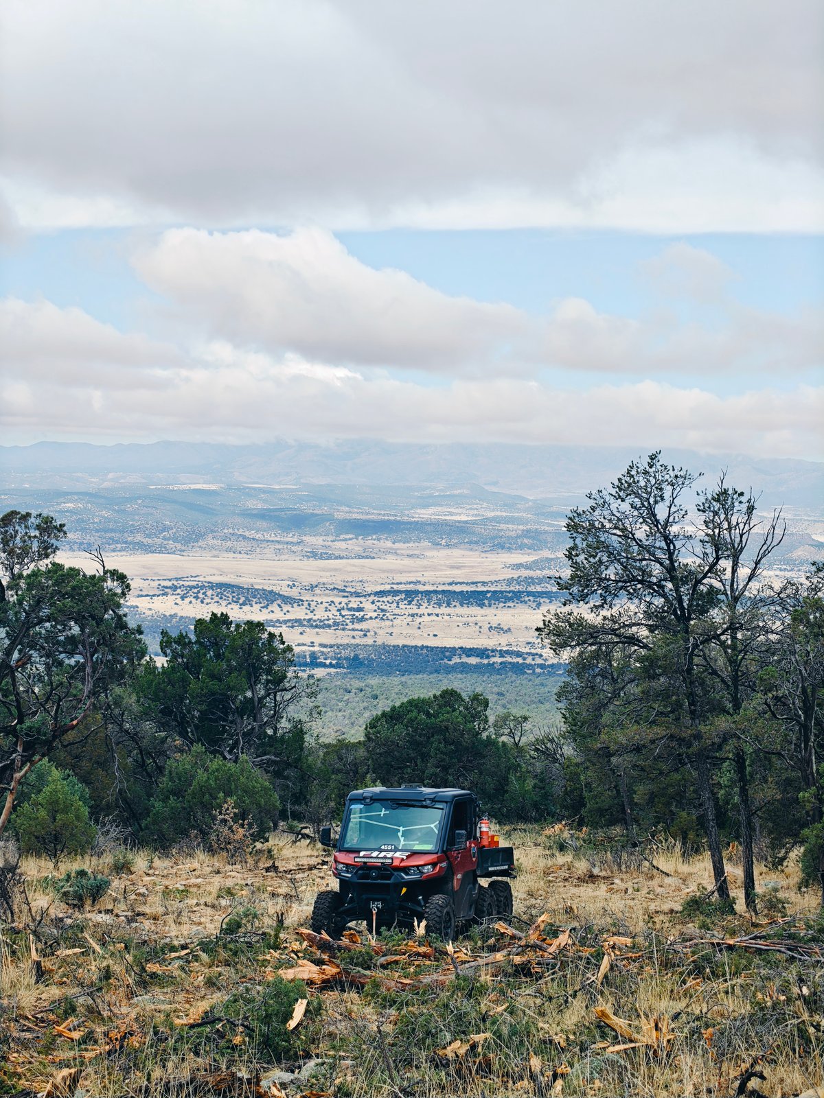
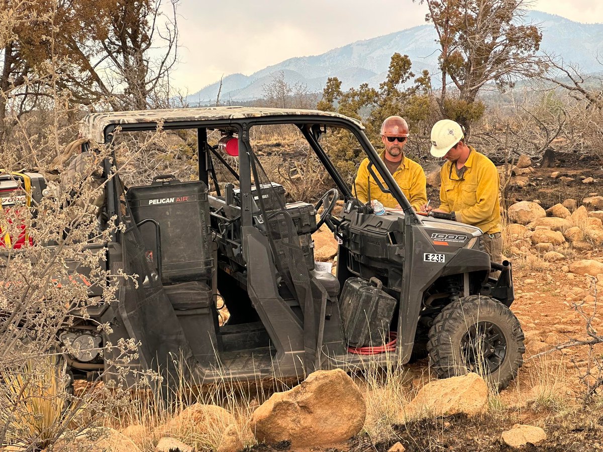
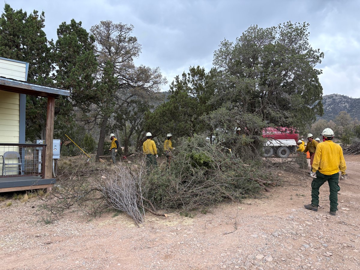
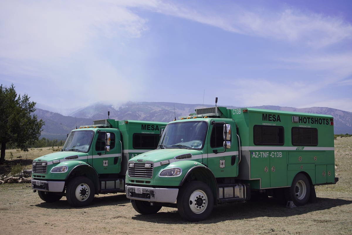
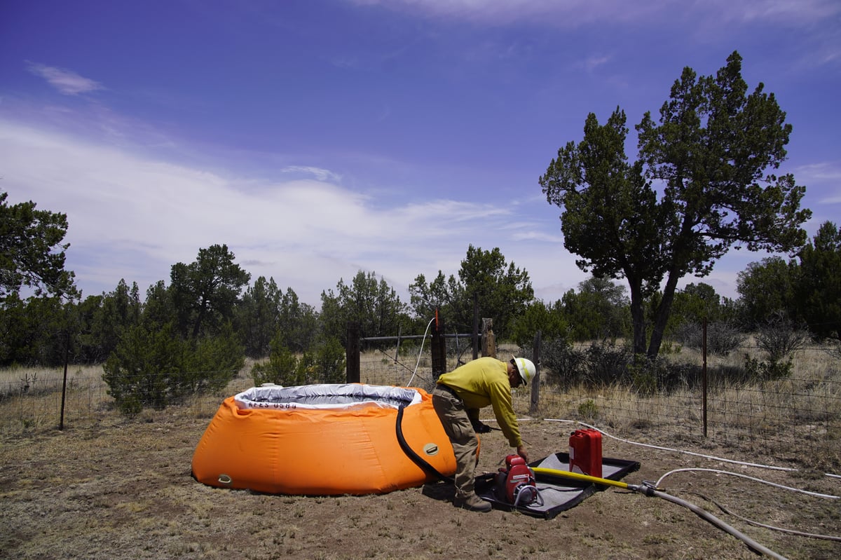
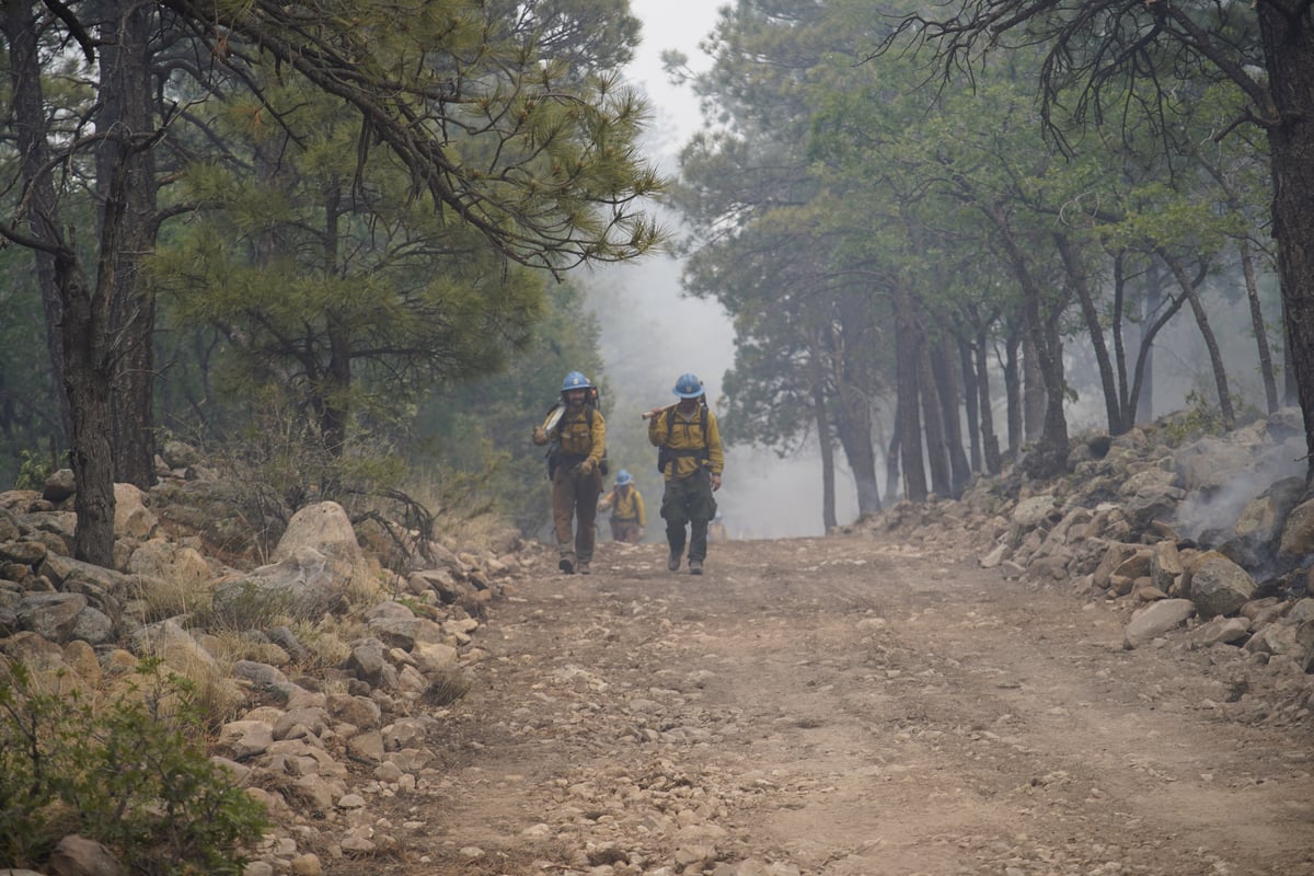
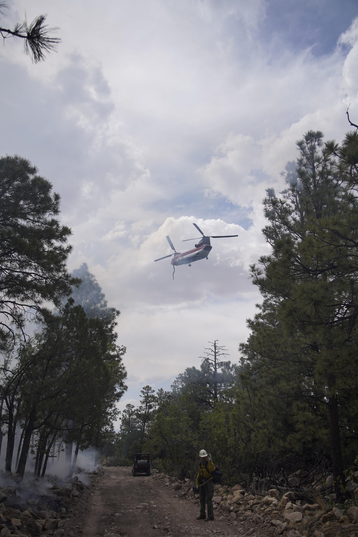
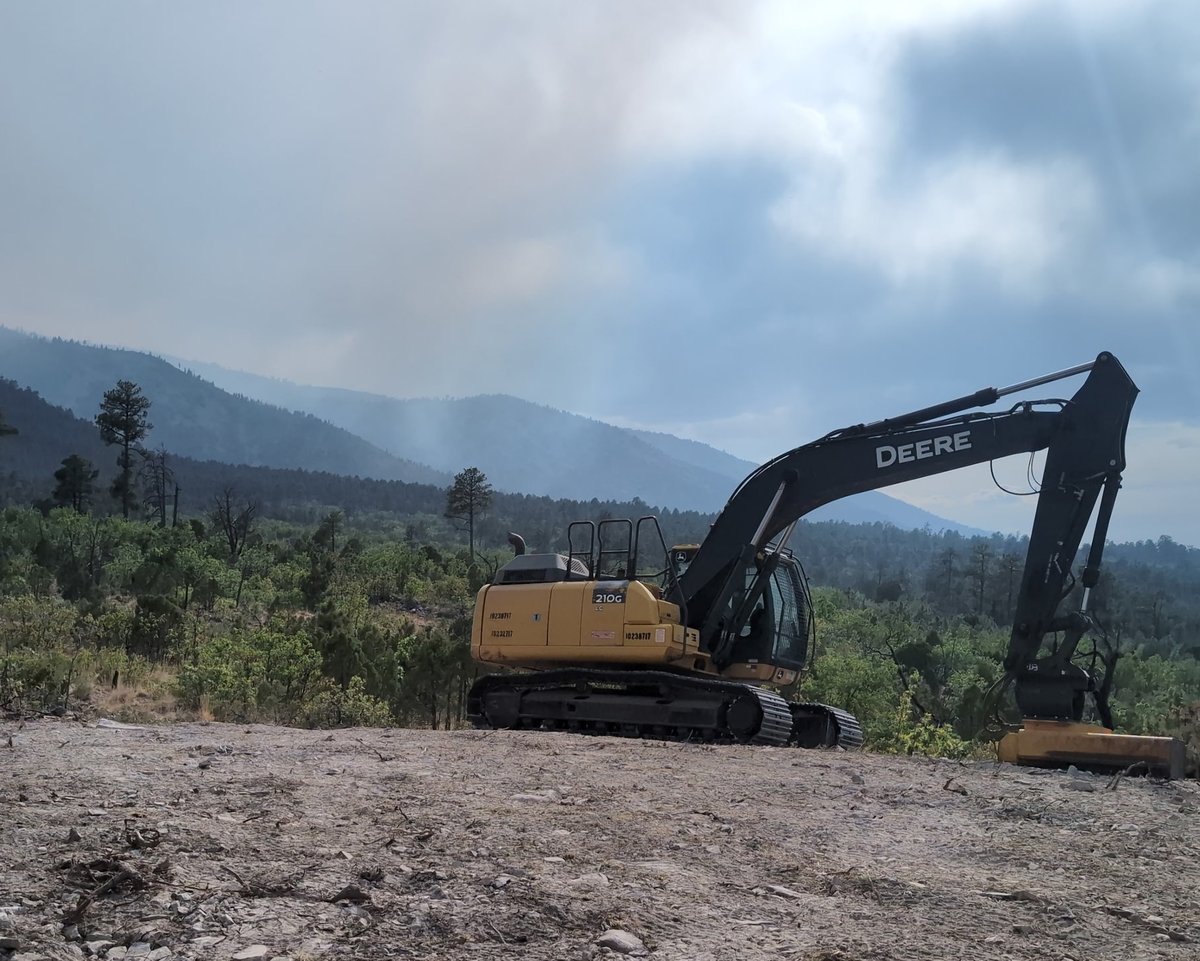
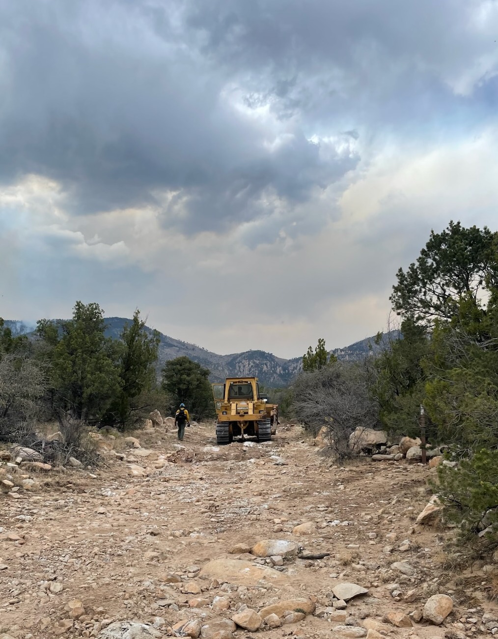
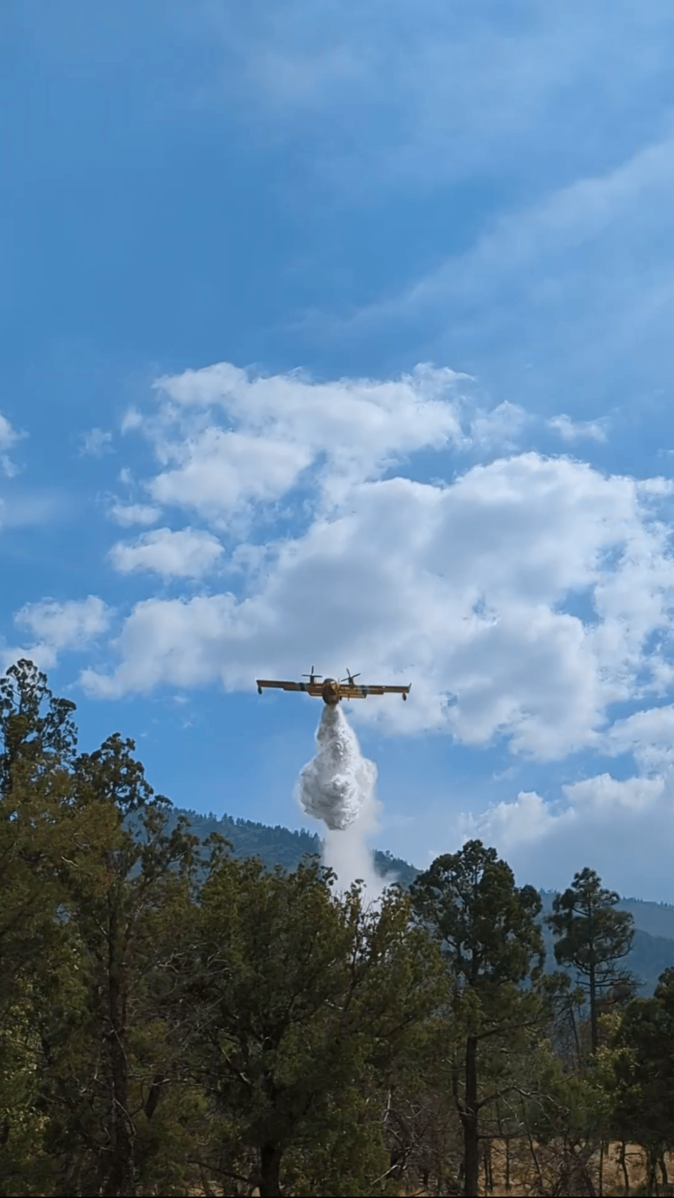
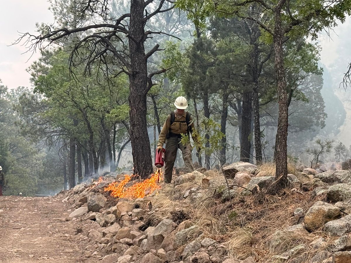
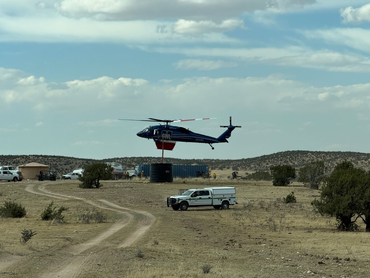
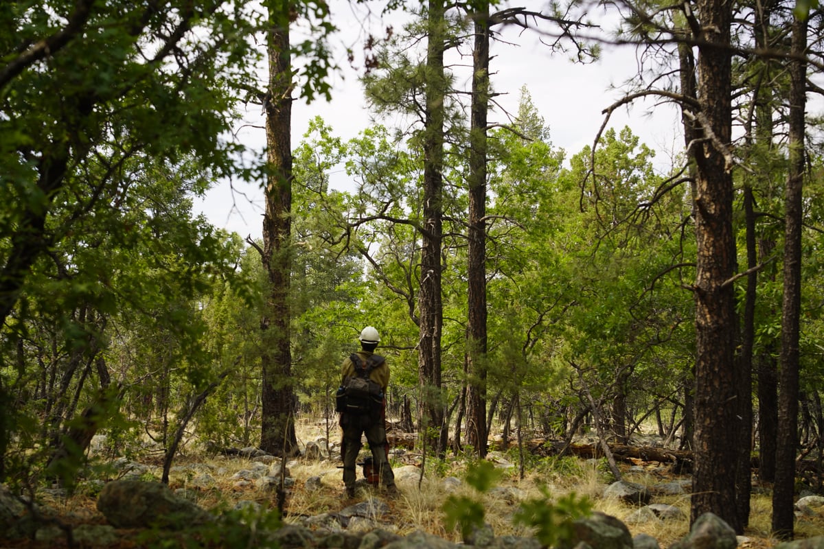
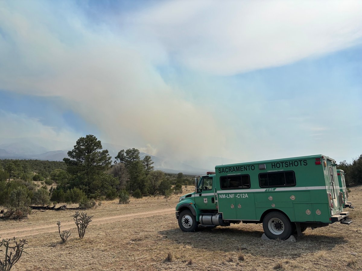
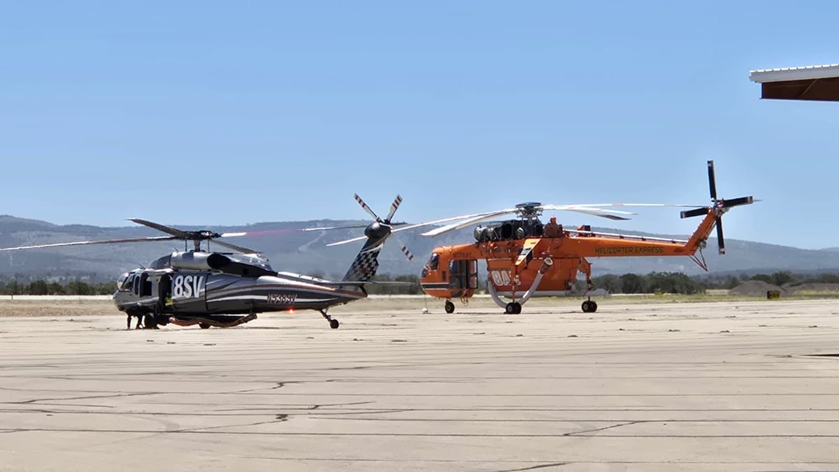
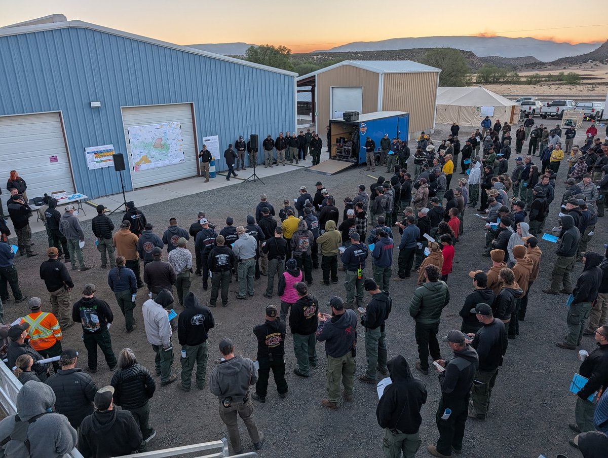
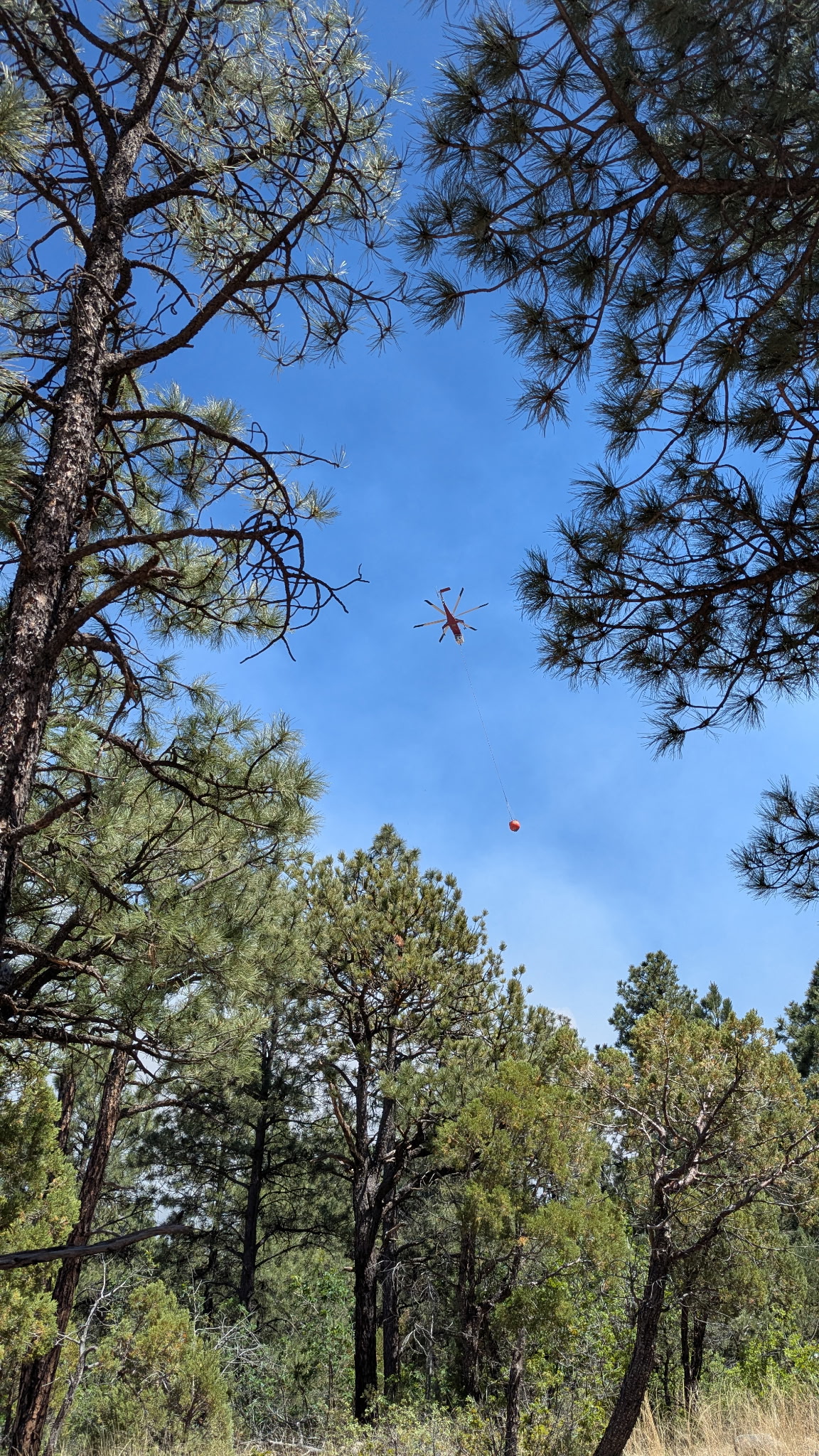
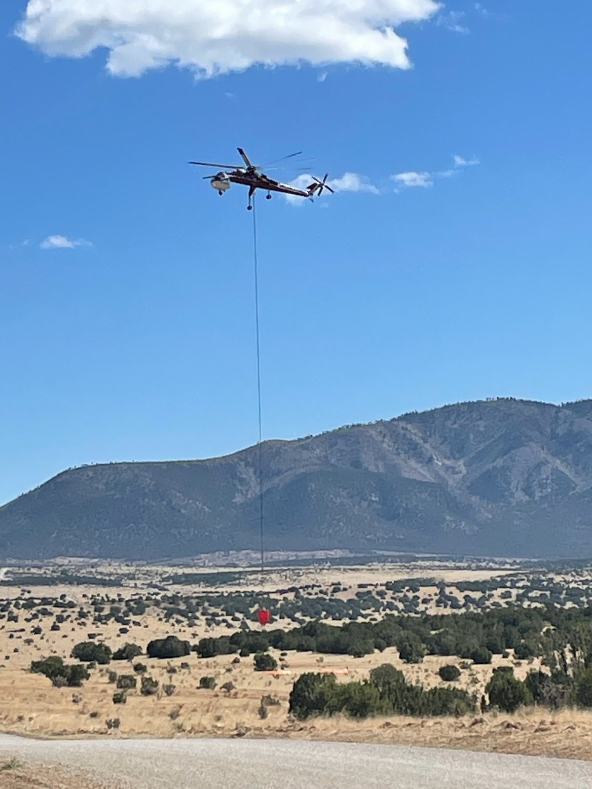
Containment Efforts: Over the last 72 hours, fire crews have made significant progress, jumping containment from 64% to 90%. Firefighters are currently focused on suppression repair, such as wood chipping and dozer line restoration, and ensuring contingency lines are secure. Over 200 personnel remain assigned to the incident, utilizing helicopters, engines, dozers, and water tenders. Crews are using both direct and indirect suppression strategies, particularly south of Highway 246 and around the Pine Lodge area.
Emergency Information
Evacuations and Sheltering:
Mandatory Evacuation Orders: All evacuation orders and alerts associated with the Seven Cabins Fire have been successfully lifted by the Lincoln County Office of Emergency Services due to improved fire conditions.
Evacuation Warnings: There are currently no evacuation warnings in place.
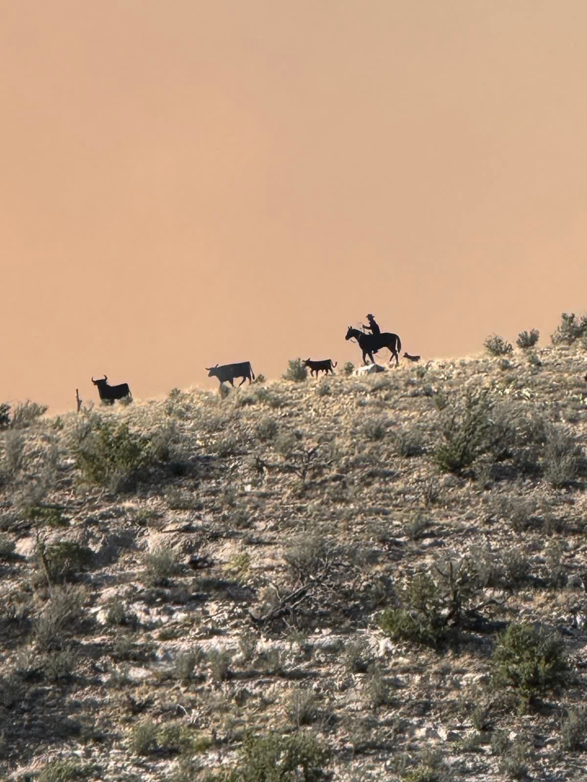
Evacuation Shelters and Information: During the height of the fire, multiple shelters were set up at the Lincoln County Fairgrounds in Capitan, NM, to handle animals, horses, and large livestock that needed care.
Road and Infrastructure Closures:
- A forest closure remains in effect across the Capitan Mountain area, extending east and south of Highway 246 to the Forest Service boundary and continuing south to Forest Service Road 57.
- Baca Campground is included in this closure.
- A Temporary Flight Restriction (TFR) is in place over the fire area to ensure safe access for firefighting aircraft. The public is reminded: "If You Fly, We Can't." If civilian drones enter the restricted airspace, all firefighting aircraft must be grounded.
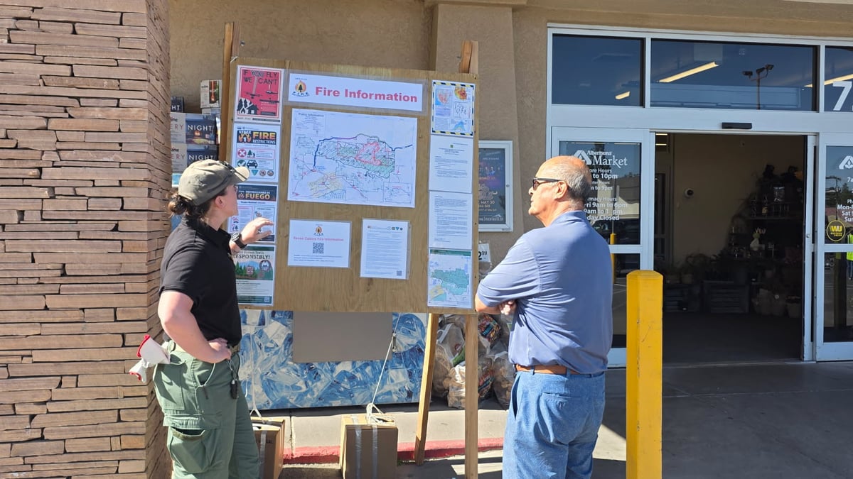
For more information, visit:
- Lincoln County Fire & Emergency Services
- New Mexico Fire Information (NM Fire Info)
- Watch Duty Wildfire Map
Current Impact
Impacts:
Injuries and Fatalities: There have been 0 fatalities and 0 non-fatal injuries reported in connection with the Seven Cabins Fire.
Structures Impacted: No structures have been destroyed by the fire, despite it spurring several evacuations earlier in the incident. Total damages are estimated at $29.6 million.
School and Business Closures: No current school or major business closures are reported, though the National Forest closures continue to impact local recreation and tourism.
Notable Impacts: The fire has heavily impacted the Capitan Mountains Wilderness area, burning over 31,000 acres of natural landscape and requiring extensive suppression repair.
Safety Concerns:
Power Outages: No major power outages are currently reported in relation to the fire.
Water Safety: No specific water safety concerns have been reported at this time.
Burn Bans: Stage 1 fire restrictions remain in effect for the Lincoln National Forest. Additionally, the State of New Mexico has issued fire restrictions for all non-federal, non-tribal, and non-municipal areas.
Air Quality: Smoke impacts have decreased significantly over the last 72 hours and are mostly confined to the immediate vicinity of the fire. Earlier in the incident, winds blew smoke plumes across the state, causing unhealthy air quality in areas like Ruidoso. Residents are advised to monitor local conditions as warming weather may produce scattered smoke.
Ongoing Outlook
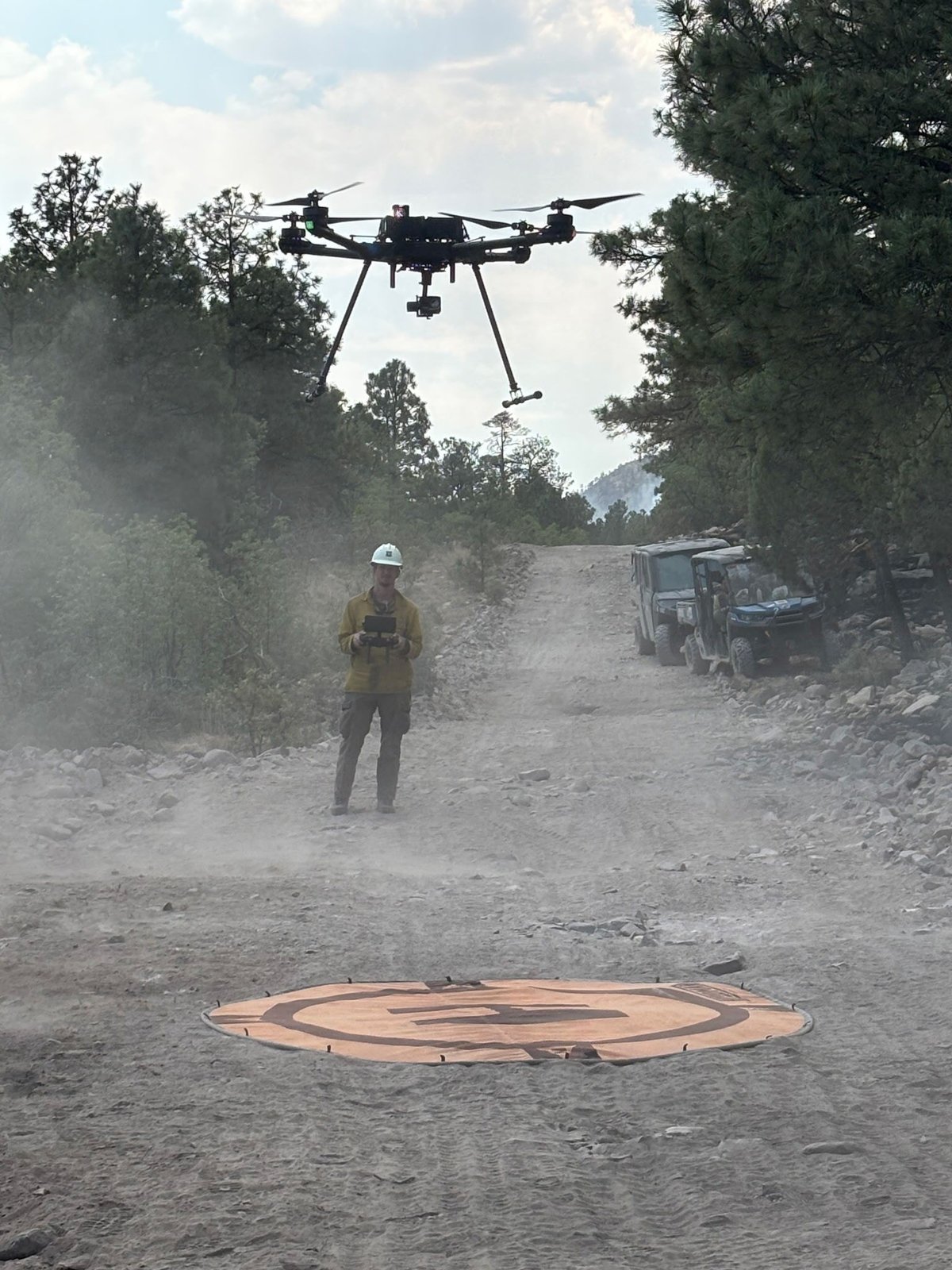
Containment Projections: With containment at 90%, fire crews are highly optimistic about fully securing the perimeter. Over the weekend, crews walked uncontained lines looking for hot spots with the assistance of staffed aircraft and drones capable of infrared (IR) imaging. Initial attack crews remain on standby to address any new fire starts.
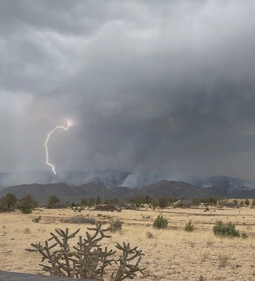
Weather and Wind Warnings: Recent storms brought measurable moisture but also multiple lightning strikes to the area, raising concerns for new fire starts. A flood watch was recently declared for the area due to thunderstorms. Moving forward, a significant warming and drying trend is expected to return across the fire footprint, with moderate but unpredictable winds near thunderstorm activity.
Cause and the Role of Weather and Climate
Cause: The fire is human-caused. It was sparked on May 14, 2026, when a medical transport plane crashed in the mountainous terrain just north of Ruidoso, igniting a brush fire that quickly spread to surrounding vegetation.
Weather and Climate: The rapid initial spread of the fire was exacerbated by extremely dry fuels left over from the 2024 Peppin Fire burn scar. Recent weather has fluctuated between scattered thunderstorms providing much-needed moisture and periods of high temperatures, low humidity, and strong winds, which historically drive critical fire weather conditions in the region.
 View All