Jim Mtn
 wildfire
 ACRES BURNED
725
STATE
Nevada
ORIGIN COUNTY
ElkoCONTAINMENT
70%
THIS FIRE IS STALE
This incident has not been updated in more than three days. Data may be inaccurate.
Response
LEAD AGENCY
Bureau of Land ManagementRESPONSE LEVEL
Type 3

Details

INCIDENT DETAILS

FIRE BEHAVIOR
Minimal
NEAREST CITY
—
DESCRIPTION
16 Miles N from Montello, NVJim Mtn Fire Report — July 13, 2026
Fire Start, Size and Growth
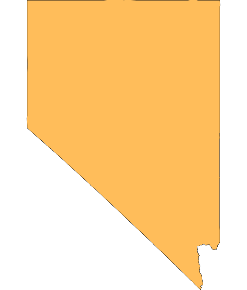
Start Date/Time/Location: The Jim Mtn Fire (also referred to as the Jim Mountain Fire) ignited on Thursday, July 9, 2026, at approximately 10:08 a.m. PDT. It is located roughly 16.7 miles north of Montello in Elko County, Nevada, near the Nevada-Utah border.
Size and Containment: As of July 11, 2026, the fire has burned 725 acres and is officially 100% contained.
Fuels, Growth and Rate of Spread: Burning in difficult terrain, the fire was primarily fueled by short grass (1 foot), brush (2 feet), sagebrush, and pinyon-juniper. Fire behavior was described as minimal, creeping, and exhibiting single tree torching. The fire grew rapidly to over 700 acres by Friday evening before forward progress was fully stopped.
Containment Efforts: The response involved a coordinated effort from the Bureau of Land Management (BLM) - Elko District Office and the Elko County Fire Protection District. Crews successfully secured the perimeter, bringing the fire to full containment over the weekend. The estimated cost of the fire response is $850,000.
Emergency Information
Evacuations and Sheltering:
Mandatory Evacuation Orders: There are no mandatory evacuation orders in place for the Jim Mtn Fire.
Evacuation Warnings: There are no evacuation warnings in place.
Curfew: No curfews have been issued for the surrounding areas.
Evacuation Shelters and Information: No evacuation shelters were established, as the fire occurred in a remote area with zero impacted populations.
Road and Infrastructure Closures:
- There are no road, school, or infrastructure closures reported in relation to the Jim Mtn Fire. Traffic in Elko County remains unaffected by this incident.
For more information, visit:
Current Impact
Impacts:
Injuries and Fatalities: There have been no reported injuries or fatalities associated with the Jim Mtn Fire.
Structures Impacted: Zero structures were threatened, damaged, or destroyed by the fire.
School and Business Closures: No schools or businesses were closed due to this incident.
Notable Impacts: Because the fire burned in a remote region of Elko County, community impact was minimal.
Safety Concerns:
Power Outages: No power outages have been reported in connection with this fire.
Water Safety: There are no specific water safety concerns reported.
Burn Bans: While there are no specific burn bans tied solely to this contained fire, residents should remain aware that Elko County and the state of Nevada frequently implement seasonal fire restrictions during the summer months.
Air Quality: With the fire now 100% contained, any localized smoke has largely dissipated, and there are currently no major air quality health risks associated with this incident.
Ongoing Outlook
Containment Projections: The fire reached 100% containment on July 11, 2026. The incident has been deactivated from active fire tracking maps, and this will likely be the final status unless conditions change. Firefighters will continue to monitor the area for any remaining hotspots to ensure the perimeter remains secure.
Weather and Wind Warnings: There are currently no active Red Flag Warnings or High Wind Warnings for the immediate fire area. However, the region remains in the peak of its summer fire season.
Cause and the Role of Weather and Climate
Cause: Official reports indicate that the Jim Mtn Fire was sparked by natural causes.
Weather and Climate: The broader region experienced a short and warm winter, leading to an early spread of wildfires across many Western states this year. In Nevada, sagebrush rangeland increasingly gives way to cheatgrass—a winter annual that germinates in the fall and is fully cured and ready to burn by June. This creates a counterintuitive effect where a wetter winter can raise fire risk months later by growing a larger crop of fast-drying invasive grass, which contributed to the fuels available for this fire.
 View All